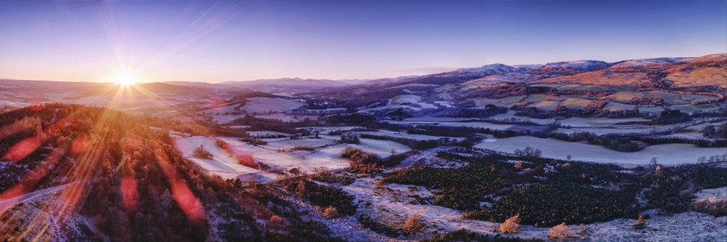
My sense of the geography of Strathearn has not really fitted together until quite recently. There have been a few locations, isolated points and a few lines: the A822 from Gilmerton up past Monzie to the Sma’ Glen; The Hosh at the foot to access Glen Turret; a small B-road between the two; a hill known as Kate McNiven’s Crag; and one or two other areas. More recently I’ve been climbing hills, “bagging” Torlum Hill and Laggan Hill as part of the Lady Mary’s Walk circuit out of Crieff.
The Highland Boundary Fault emerges in a burst of very lumpy landscape at the southern end of the Sma’ Glen. But what it does in the rest of Strathearn to the west, I’ve never really seen.
A couple of weekends ago I explored the Knock of Crieff independently; it struck me that the path up the north side afforded the perfect view along the length of the strath to the far mountains in the west, an elevated view along the glacial U-shape.
So late on Sunday afternoon I took the drone for a spin slightly out over the strath and made a panorama of 7 shots, each a 5-shot HDR exposure bracket sequence – blended on Linux, stitched and edited in Serif Affinity Photo for the iPad.
Lowlands to the left of me; Highlands to the right…
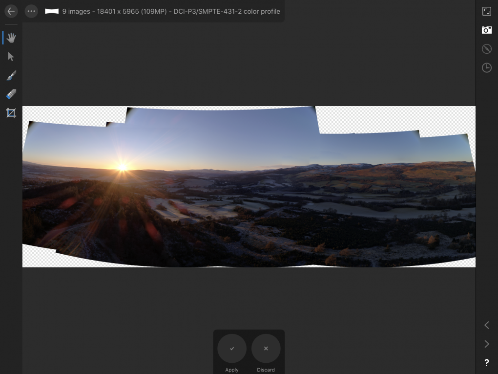
And just for the record, this is what it looked like in the middle of stitched the blended panorama, before I cropped and toned it:

