Assynt, Day 2: Solus Na Madainn

For the second day of my holiday last Autumn, I got up – again! – at a ludicrously early hour and drove from Tongue round to the Assynt peninsula, to my favourite viewpoint for sunrise.

It was some drive.

All the way from Tongue to Loch Assynt without seeing another car. Bliss.

Take the A838 road (abused as part of the ghastly NC500 coastal route) via Durness at 5am in the pitch black, the wind blowing a gale, rain + windscreen wipers on full speed.

Picture avoiding a herd cows intruding across the road. Avoiding more than 10 deer.

At that surreal pre-caffeinated hour of the morning, seeing a signpost advertising “serving local seafood” makes me picture a restaurant waiter taking a scallop’s order at table.
The music of choice was Arcade Fire Mountains beyond Mountains – a song bemoaning city life with its world so small – a mental image contrasting with my surroundings, passing rural Scourie, pop 132 – the sort of place that takes longer to say the name than drive through.

And so I arrived at Rhicarn – the landscape black, clouds a grey plasma, just a little bit windy…

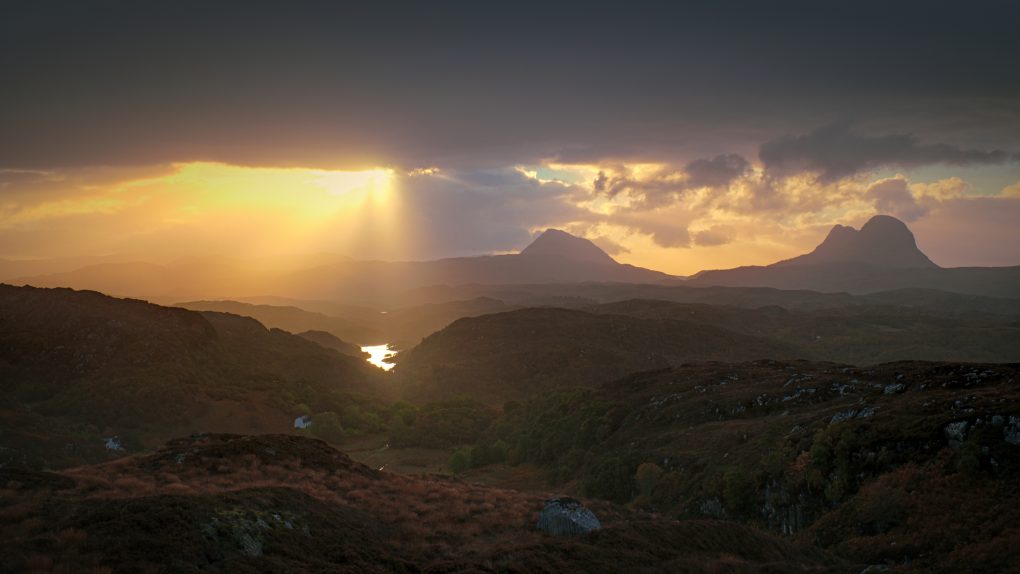
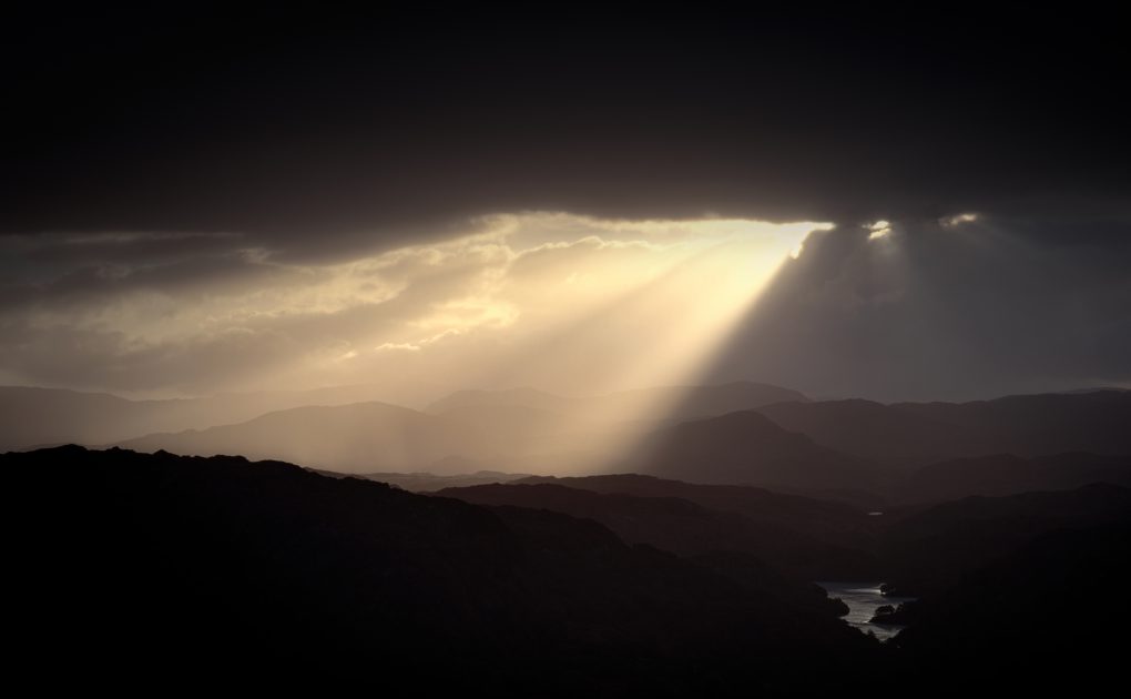
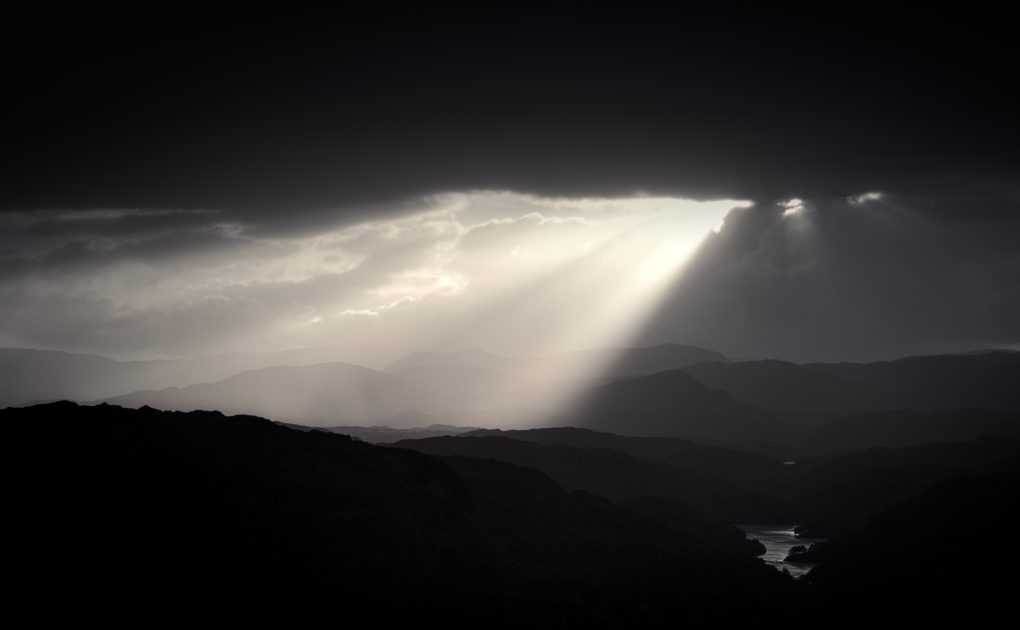
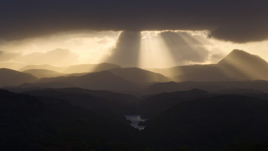
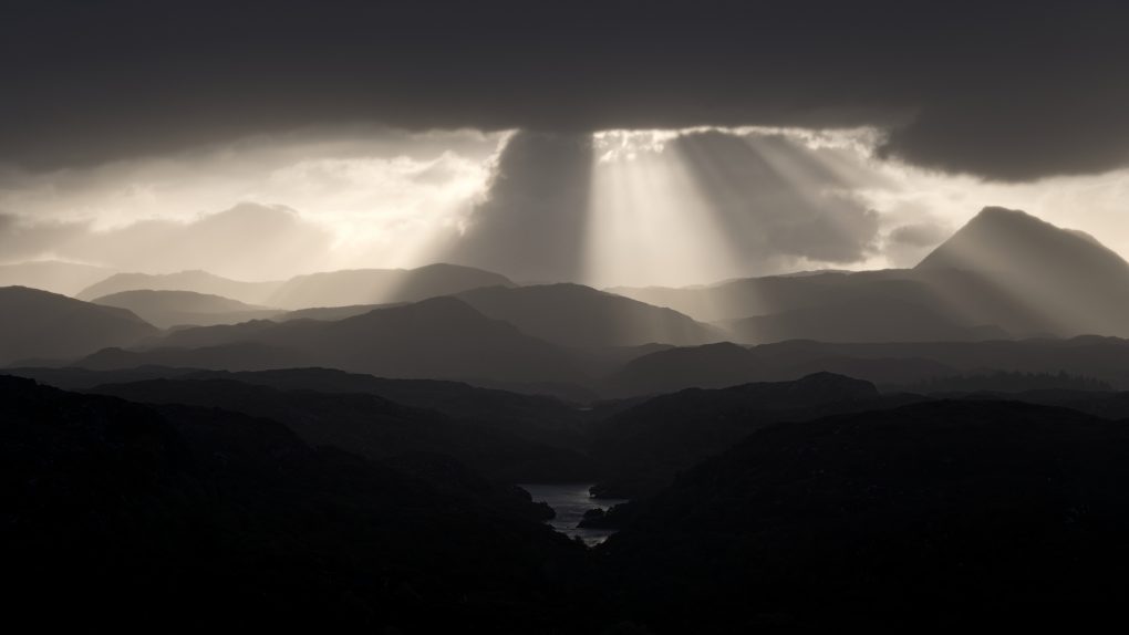
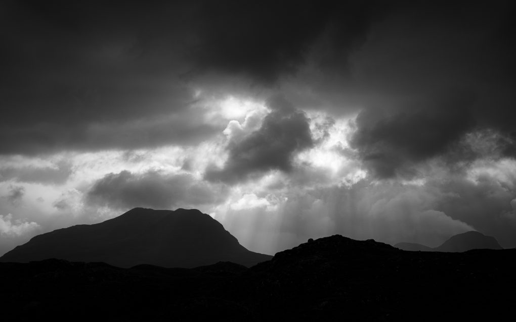
And the sun rose. Quite spectacularly, casting brilliant crepuscular rays from the horizon and underside edges of clouds.
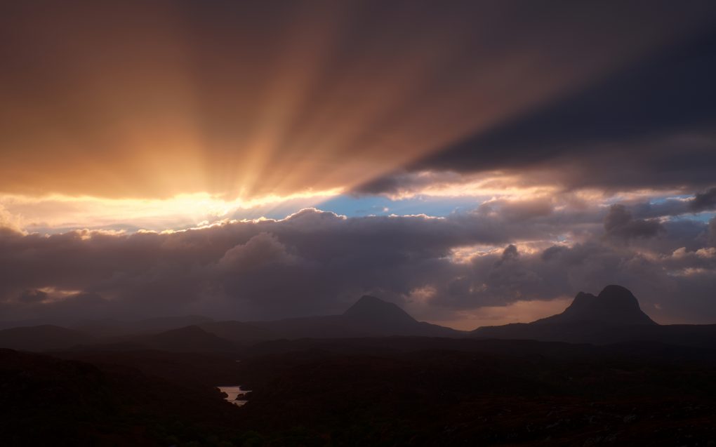
Throughout the sunrise, the light was spectacular – brightly illuminating colourful clouds.
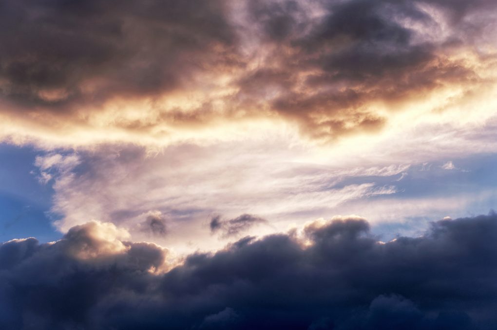
Simple abstract patterns: bright early morning sunlight illuminating clouds a warm yellow/orange.

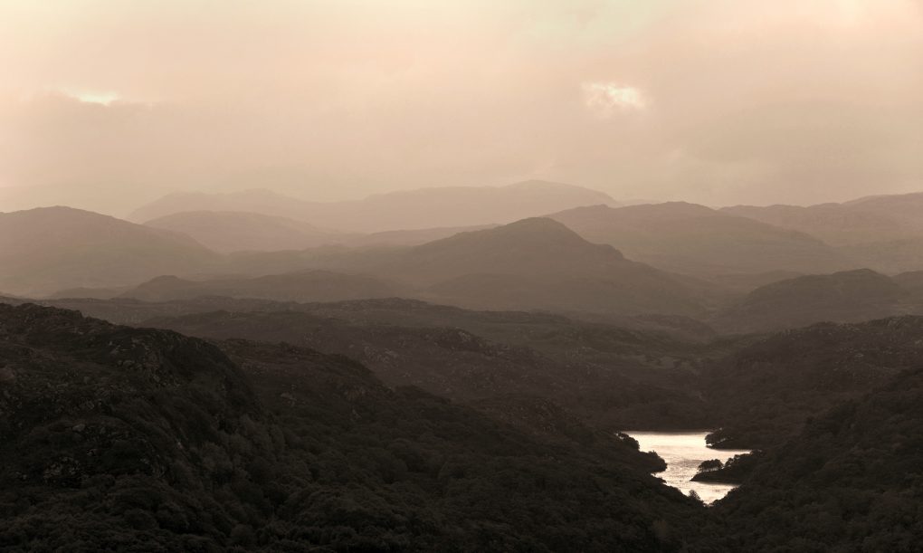
…and casting a subtle hazy glow over the morning fog across Little Assynt, outlines of hills receding into the mist
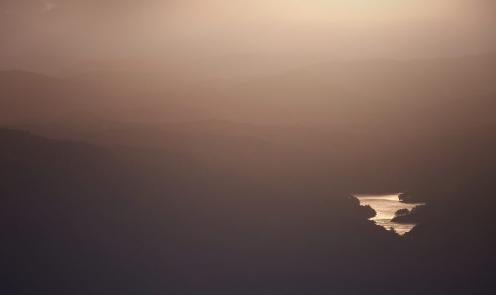
Perhaps my favourite image from the morning has to be Suilven, the unmistakable mountain on the horizon, catching a subtle patch of oblique sunlight on a flank.
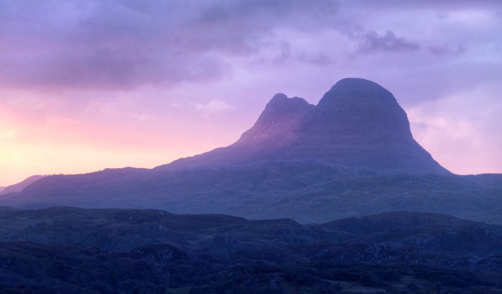
The unmistakable shape of Suilven (Sùilebheinn) catching an oblique beam of warm early morning sunlight.

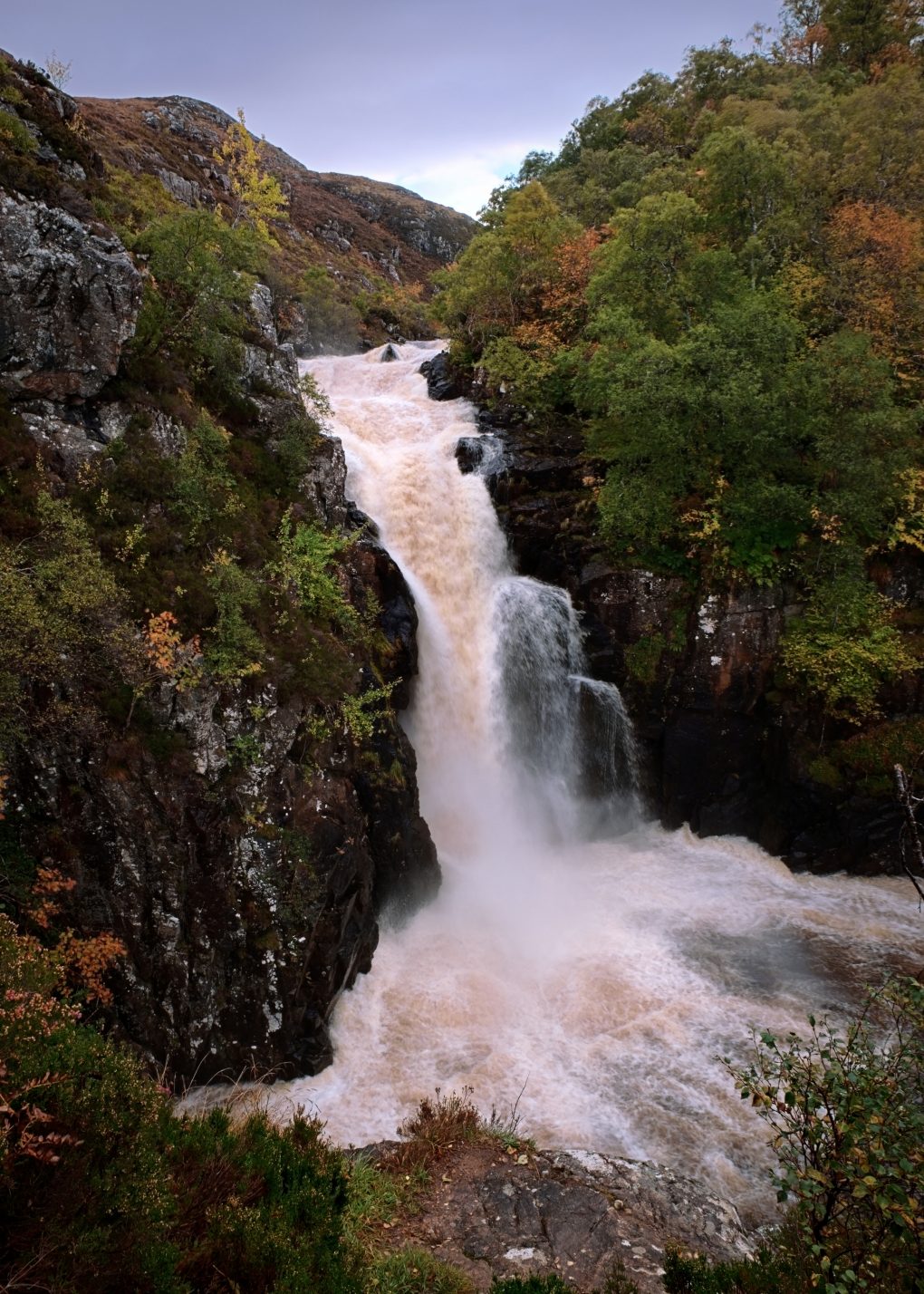
Once the sun rose, I explored the Falls of Kirkaig outside Inverkirkaig. A nice long walk through lumpy landscape, to a large thundering waterfall.
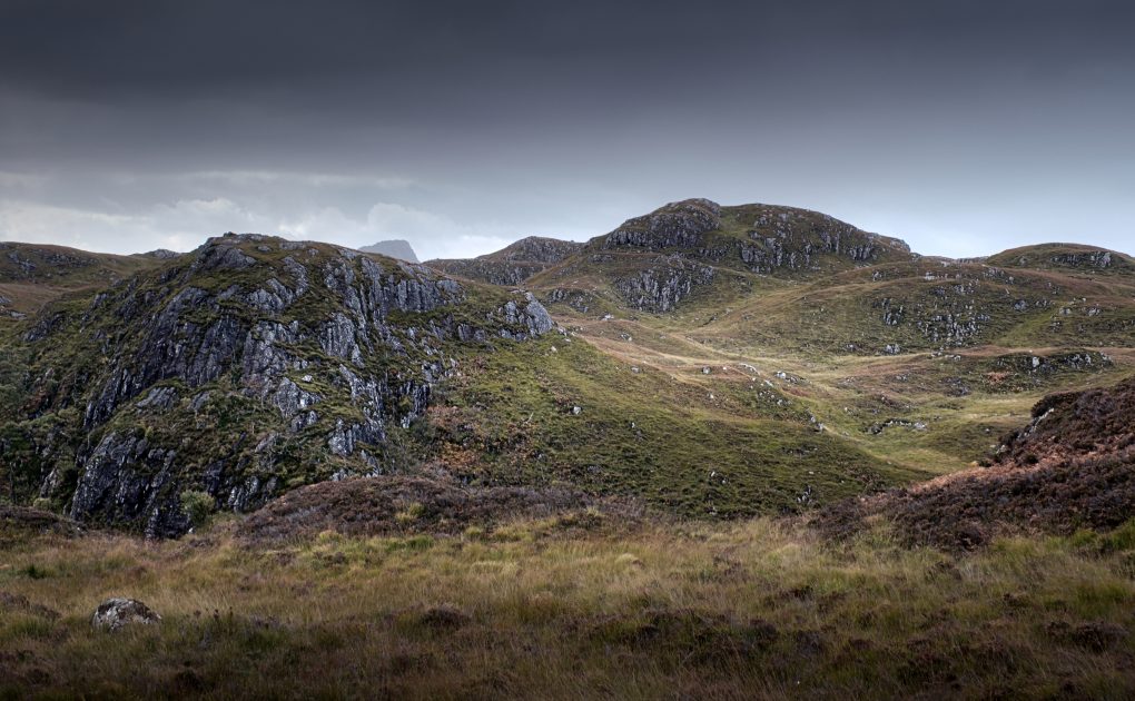
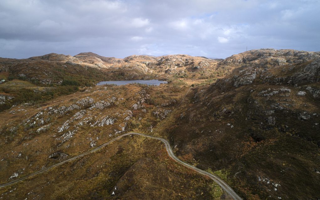
Returning to above Rhicarn, clouds had flowed in obscuring the mountains on the horizon, so I experimented flying the drone to admire the surrounding landscape.

There’s something about finding a thin strip of old tarmac that obviously used to be a road – it makes a connection with the story and heritage of a location. From researching on Pastmap, it appears there was not much road here at all throughout the 19th century – presumably a cattle drovers’ track or similar. Then the old tarmac was laid, following a circuitous path around the gneiss rock hills. Finally, some time after the 1960s, a new road, now the B869, was laid through it in a boring straight line, the old route relegated to a carpark yet visible and walkable either side of the road.
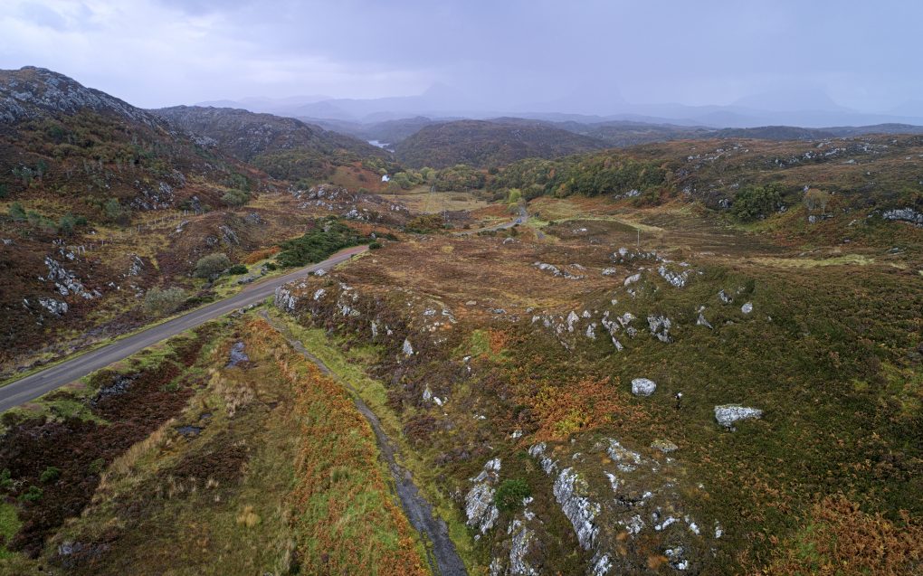
I suspect at one stage this might have been nothing more than a cattle drover’s track down to the lowlands, maybe up until the early 1900s; up to 1960 the road was just a thin narrow track of tarmac with a couple of moderately sharp twisty turns in. Since then the B869 has been rerouted into a simple and less inspiring straight line and the old road relegated to a path, some of it widened to form a carpark beside the new. The bedrock is mostly Scourian gneiss, metamorphic, formed 2500-4000 million years ago (and therefore amongst the oldest rock to be found on the planet); down the centre of this view is a line of Lewisian metagabbro, gneissose, also metamorphic, formed 541-4000 million years ago. I’m not sure what the large central depression might be – it looks rather like a quarry, although there’s no evidence of anything on the maps.

Behind this scene, on the way to Clachtoll, lies some beautiful Karst landscape (cnoc’n’lochan or knock-and-lochan), formed by underground erosion of softer rock, leading to a classic pattern of rocky knolls interspersed (almost 50-50 by area) with lochs.
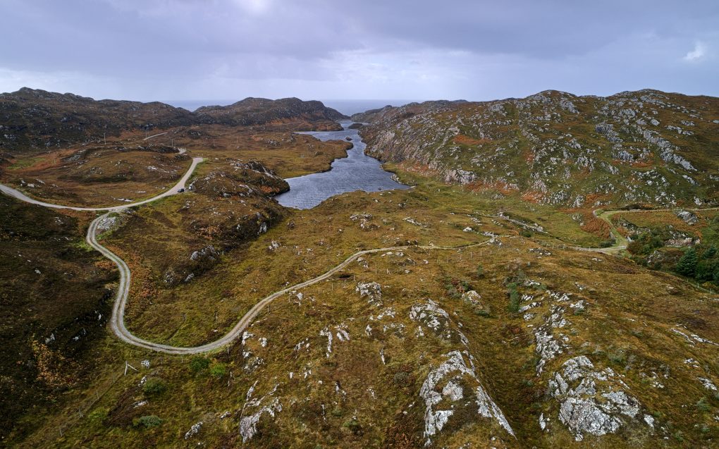
Further along the road lies the Maiden Loch, of which I’ve been very fond since first catching sight of it years ago. That first view was on a sunny afternoon, the sky blue reflecting in the water. I flew the drone over it, to admire the gneiss landscape all the more…
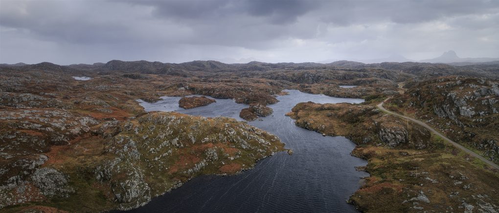
Fantastic scenery: Assynt at its very best. A very windy moment flying the drone above one of my favourite lochs, the Maiden Loch near Clachtoll. The landscape is typical knock-and-lochan Karst formation: shaped by the dissolution of a layer or layers of soluble bedrock, small undulating gneiss hillocks emerge amongst the lochs. In the hazy distance, Suilven cuts its familiar outline on the far horizon.

Some of the above photos are available on my photo gallery website: ShinyPhoto: Assynt
Glen Clova

A couple of years ago, a photo-friend and I spent a happy afternoon exploring Corrie Fee in Angus; I remembered emerging from the trees in an impressive bowl of a glacial corrie. In August, I sought to repeat the experience, starting from the carpark nearby, but in my haste to get off the ghastly Forestry Commission track (more like a hard gravel road ploughed through the forestry, complete with yellow metal gantries), I wound up taking a different path. It also emerges from the trees into a bowl of a glacial corrie, but felt different and I couldn’t work out whether it was the wrong exit from the woods or what.

Came home and checked the geotagged images to find it was not Corre Fee but Glen Clova instead. That would explain a lot of things! And unsurprisingly, I now use ViewRanger to navigate whilst hiking.

Still, a couple of hours bumbling around in the grass finding interesting photos in a dramatic bit of landscape on a moody afternoon… Can’t complain.

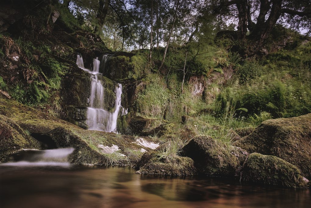
As I was stumbling around in the foot of the glen, I stumbled across this lovely little burn tumbling its way through the hillside:

The surrounding rocks are quite dramatic – I was amazed at the green and purple hues of moss and primitive plants growing on the crags around

And much as I know the forestry is entirely artificial now, it still drapes over the landscape like a cloak.

Glen Artney

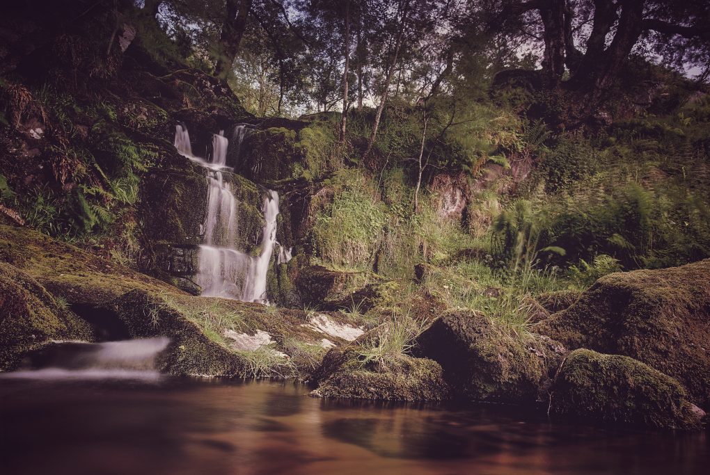
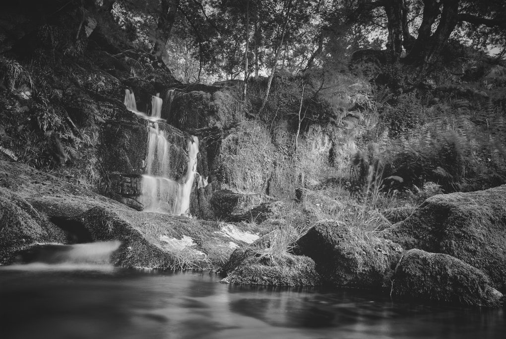
Just one photo from a quick afternoon excursion to explore Glen Artney earlier in the year. Well, one photo, processed 3 ways.

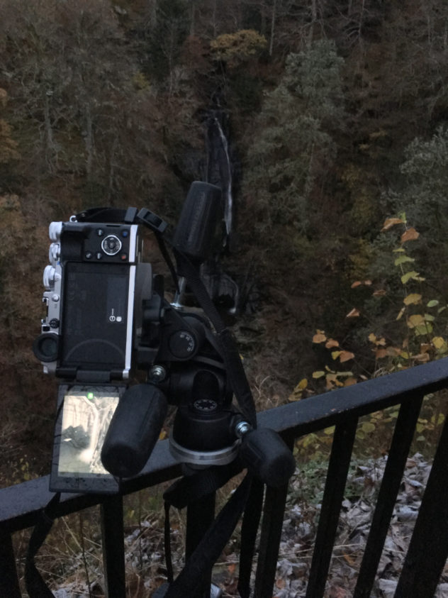
This was the first, and so far only, time I’ve felt the urge to invert the tripod centre column; in the process I discovered that the Pentax K-1 live-view display will happily invert the image correctly, but leaves all the exposure and histogram overlays the wrong way up – as if trying to use the thing upside-down was not hard enough itself! Oops.

A pleasant waterfall in the Allt na Drochaide burn, a tributary to the Water of Ruchill, Glen Artney.
This was the first, and so far only, time I’ve felt the urge to invert the tripod’s centre-column and dangle the camera millimetres above the water. In the process, I discovered a bug with the Pentax K-1: if you use live-view upside-down, the image inverts itself correctly but all the settings controls (histogram, etc) do not. It’s tricky enough wondering where the control dials have gone, let alone where the numbers they control are to be found on screen. D’oh!

Photo-Walk 2017

For several years, on and off, I’ve attended an annual Photo-Walk based in Inverary, Argyll. This year was no exception – always good to catch up with friends I’ve met on the walk previously.

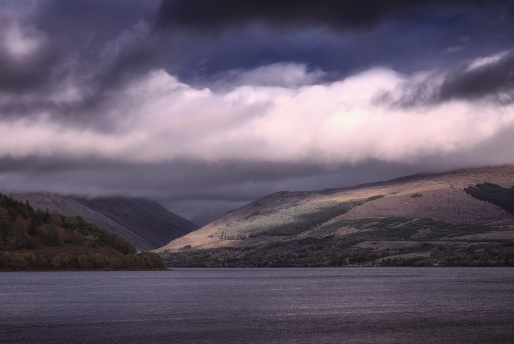
As always, Argyll is a favoured place and Autumn a favoured season; the combination of light and landscape makes for enjoyable drives.

An auspicious viewpoint – right next to the public toilets on Inverary front – but it makes for a cracking view up the loch toward a spot of sunlight illuminating the hills around Ardkinglas.

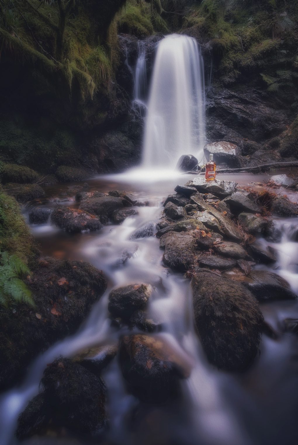
This time the organizer, Richard, had brought a couple of props – most notably a bottle of Isle of Jura Superstition and I had one or two ideas in mind “just in case” we ended up at a particular favourite waterfall.


We made our way down the slippery embankment to the burn, where I set up tripod amongst the boulders to maximize the lead-in lines of water flowing around the rocks up to the waterfall – tripod placement was fairly tricky with a wide-angle (24mm) lens and the slippery lumpy terrain to negotiate – and then as the camera was busy taking 20s exposures (4x with pixel-shift) I trotted back and forth through the water firing a flash-gun down onto the bottle of whisky and surrounding rocks (manual triggering at 1/8 power with the diffuser out and reflector down to stop the light itself registering in the scene).

Product Placement
I quite like Isle of Jura whisky… not necessarily on the rocks though.

I had originally experimented focussing in on the bottle itself and using a wide aperture to restrict depth of field, but that did not fall naturally through the scene – the waterfall was still sharp behind – so I stopped-down to make everything in focus and relied on post-processing tricks in Affinity Photo to draw the eye onto the bottle differently instead – some Orton effect and various soft-light Gaussian blurs, masks and elliptical gradient fills to boost the saturation, make it all glow and still leave the bottle sharp and bright. The final toning came from Snapseed of all things.

I’ve done a little product-photography before but never tried blending [bad pun intended] it with landscape work, let alone pairing it with light-painting, but I think it worked – certainly compared to the straight shot, the bottle with its amber glow just makes it.

Just One Photo

Black Spout Waterfall, Pitlochry

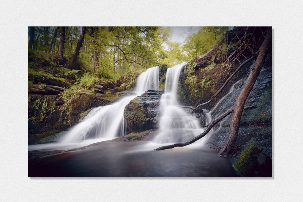
Some days you only need to come away with one landscape image to justify an excursion.

On Saturday I set sail with Doglet and a friend and strolled through Black Spout Woods around Pitlochry, up to the viewpoint across the gorge where you can see the full height of the waterfall, and then round to the more accessible bit near the top of the falls, which still takes a fair amount of scrambling around on the river bank to get down to.


A nice stroll through the woods, a view across the gorge to the full height of the waterfall, some scrambling around on the banks to get down to this level (a small fraction of the total height down from the top) with friend and dog… A good way to spend an afternoon

Technicalities:

There are three conscious aspects to this shot:

Composition

I wanted to make the most of the 15-30mm lens, so with a bit of wiggling around at the scene I found a spot right in front of the cascades that would showcase the 16mm ultra-wide field of view with a strong foreground. Nothing clipped; there’s negligible cropping except for lens-correction. There’s something in each pair of corners: the strong diagonal line of the dead tree-trunk in the foreground is echoed by the three distant trees in the far top-left; the negative space of the burnt-out sky has an echo in the expanse of run-off water in the bottom; treated as three stripes, there’s a balance between the height of the frame given to the run-off, to the bright white cascades, and to the woods+sky at the top.

Sensor controls

I made 10 source images on the Pentax K-1, varying the exposure as follows:

f/13.0 1/50s; f/14.0 1/8s;
f/16.0 0.4s; f/16.0 0.5s
f/16.0 0.5s; f/16.0 0.8s
f/16.0 1/4s; f/16.0 1/8s
f/16.0 1/8s; f/18.0 1/6s

This set of exposures spans a large contrast range from bright grey sky down to dark shadows in the rocks; it varies the shutter speed so at least a few will make the water look like brushed cotton; it varies the aperture partly to cater for the range of shutter speeds, and partly so as much of the shot as possible has a frame with maximum detail before diffraction. Enough data that enfuse could find a good midtone maximizing local entropy (detail) at every pixel.

Each of the above had pixel-shift enabled for greater resolution, totalling 40 frames of 36MPel resolution. The shutter was open for a combined total of 12s.

Post-processing

I used my open-source Pentax K-1 pixel-shift workflow on each of the 10 images above, and then reused it again to blend all 10 together into a combined HDR average. Opening this in darktable, I proceeded to correct lens-distortion, finalize the crop (16:10 aspect-ratio, one of my favourites for landscape), set detail modules (no need for noise-reduction! some balancing of detail, local detail, equalizer modules though) and exposure, toning (including tonemapping and low-pass filter) and colour (Velvia). There are not many localized modifications, but there are significant grad-ND filters both down through the trees and, opposing that diagonally, up from the bottom of the frame, along with two instances of the vignetting filter (one significant, one just clipping the corners); there is also extra local contrasted masked into an area around the dead tree trunk. Finally I opened the image in The Gimp and ran the G’Mic filter suite including colour-grading twice (once conventionally, once with extra highlight/shadow duotone effects, blended together – this has the side-effect of changing the tonality in the green leaves to make it look brighter/sunnier than it actually was). A tweak to the curves to lift the overall gamma and then I overlaid my favourite texture image, a photo of a sheet of Hahnemuehle Photo-Rag paper, in soft-light mode to soften the contrast and add a small amount of texture into otherwise barren areas.

Why this Workflow?

Working this way hits a sweet-spot in terms of convenience and image-quality.

I did not fall in the river. That’s a good start.

With such a wide field of view, every centimeter counts when choosing the location. With the 15-30mm lens I was able to experiment, iteratively varying location and focal length, until an optimum position was found, all the while seeing exactly what the final composition would be in live-view.

Pixel-shift – moving the sensor around in a 1px square pattern – works as a great way to increase the resolution.
The alternative would be to shoot a panorama, but that would still require HDR blending of frames as well as risking motion-artifacts in the trees; with just HDR on its own, the ghosting of the leaves from averaging multiple frames is a more pleasant indication of movement rather than errors in stitching. Additionally, shooting a panorama would require just as much care over camera position but would not allow a preview of the composition.
As a hybrid option, with cameras that lack pixel-shift or equivalent technology, one could compose approximately and then vary the tripod position subtly to emulate hand-held camera-shake; this is almost identical to pixel-shift in terms of super-resolution, but varying the camera position risks introducing artifacts from lens-distortion and parallax between foreground and distant parts of the scene, that pixel-shift avoids.

Additionally, shooting every frame 4x over, automatically, increases the overall exposure time into multiple seconds, even in daylight, which avoids the need for Big Stopper-type filters (especially handy on a lens that would require a special holder for such).

Birnam Hill: Hunting the Highland Boundary Fault

I’ve been to Birnam Hill and Duncan’s Hill area at least six times, so it made a good testing ground for the new Pentax K-1 camera.

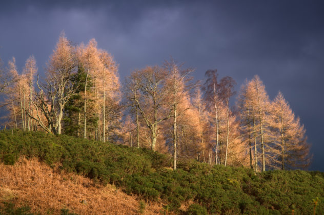
It wasn’t the best of days for landscape photography – a bit early in the day for what little light there was to be really photogenic – but there was a moment when the sun broke through and illuminated some birch trees on top of Duncan’s Hill most beautifully:

For some years I’ve known the Highland Boundary Fault crosses the A9 around Dunkeld/Birnam area, but never really pinpointed the exact location.

On my first visit I walked around Duncan’s Hill through Birnam Wood and Rochanroy Wood: I observed a particular lump of rock exhibiting clear strata sticking out of the hillside:

As I passed the edge of the established woodland, there was a pronounced drop of about a metre to the level of the new conifer trees to the right. And I wondered if this was a particular noted geological formation.

Highland Boundary Fault, Birnam Hill

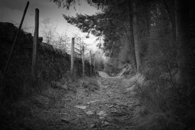
Three paths: this one leads down the line of the Highland Boundary Fault

On more recent visits I geotagged the location and compared with the British Geological Survey’s maps to see the rock types change either side of the dip – till, changing to slate and grit and then to psammite and semipelite typical of the Highlands.

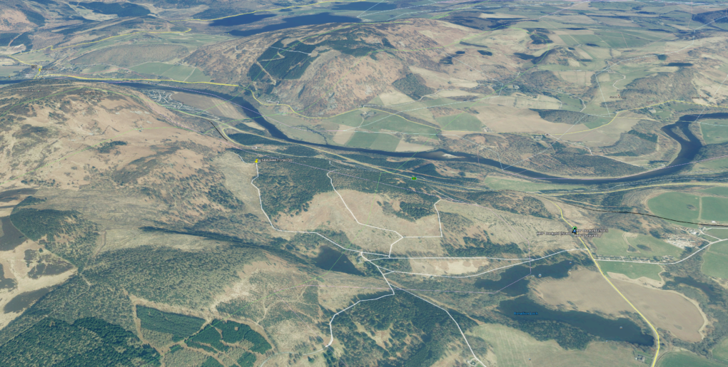
On further investigation with Google Earth, the photo on the corner of the dip is right on the line of the Highland Boundary Fault itself, running up from Rohallion Loch through the lodge, round north-east turning easterly across the A9 south of Birnam.

My photo pinpointed right on top of the Highland Boundary Fault

The previous photo pinpointed right on top of the Highland Boundary Fault

Got it! Clear confirmation. Right on the money, first time 🙂

The path continues across a pronounced dip in the landscape before continuing up the other side to Stair Bridge Viewpoint and the King’s Seat on Birnam Hill.

Of course my favourite clear pure waterfall was still running:

The path affords some excellent views back of the Highland Boundary Fault cutting across the landscape:

Highland Boundary Fault to the east of Birnam

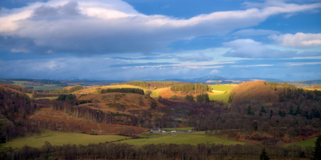
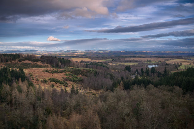
And finally, as far up the hills as I wanted to go that day, at Stair Bridge Viewpoint I was rewarded with a clear landscape vista over Rohallion Lodge to the Lowlands to the south:

View from Stair Bridge looking over Rohallion Lodge to the Lowlands to the south

The Falls of Acharn

Today’s random philosophical question: is landscape photography actually deterministic?

Research maps. Check weather forecast. Think about time and location and the maximization of opportunity. Take camera and go. Point it at things. Come back, process to some degree of satisfaction.

The process is certainly repeatable and it takes an incredible amount of luck to sway the results.

A couple of weeks ago, having passed by the village a couple of times this year on other travels, I set out for Acharn on the south side of Loch Tay with intention of using camera and tripod. They were duly deployed. And here are the results…

I was particularly pleased with the last pair, longish-distance zooms across the gorge to the water cascading over some very silvery-grey rock with two tree branches aligned like chopsticks beside the splash-down.

Finally, just for a sense of context, a making-of snap from the phone – this is how the last two were made:

picasa_img_3427

Loch Lomond: At Inversnaid

There’s a couple of picturesque views to be had just below the hotel at Inversnaid harbour – the waterfall cascading down amongst the rocks one way, and opposite, a line of boulders leading toward the Arrochar Alps across Loch Lomond. Can’t complain.

I don’t often use the Pattanaik algorithm in LuminanceHDR, especially for colour results, but it seemed to work really well with the waterfall, nicely balancing low-key levels and saturation.

Around the Hermitage

The Hermitage, by Dunkeld, has a very attractive woodland walk by the River Braan. At one time it used to boast the tallest tree in the Britain, although that honour has since moved to other forests. The Black Linn waterfall and gorge are most impressive.

Falls of Bruar Revisited

With a couple of hours to spare on Sunday afternoon, I revisited the Falls of Bruar. Even  on a grotty wet day there were plenty of opportunities, around the lower bridge.

It’s at least the 8th time I’ve been there – but the geology is impressive as always with the natural arch formed by the river eroding the local rock (mostly psammite, as with much of the Highlands).

Some experiments with Live Composite mode on the Olympus Pen-F, as well as the usual (for me) high-resolution mode; everything taken using a circular polariser and ND4 filter for longer exposure times. Having made initial RAW conversions using RawTherapee, everything has been passed through LuminanceHDR to even-out the white-balance and tonemap for better image tone. (In cases where there’s only a small area of light in the frame, such as these flowing waterfalls, the Pattanaik algorithm can give interesting high-contrast results – set the gamma to about 0.3 and the frame turns mostly black with just the highlights remaining.)

Buchanty Spout

Sedimentary conglomerate rocks, a bend in the River Almond and some nice late afternoon light.

I’ve never explored this area particularly, but on a whim having passed through the hamlet of Buchanty the previous day, with a day to spare and remembering someone in the local photographic society having posted a nice photo of the Spout, I thought I’d have a look.

Even on an average day the flow was quite awesome – a small gorge, but deep water flowing fast along its way like a bubbling jacuzzi.

Olympus Pen-F in high-resolution mode; circular polarizer, an ND8 and grad-ND4 filters and HDR bracketing to control the lighting.

Above Comrie

A selection of photos taken around Glen Lednock, mostly up the Melville Monument overlooking Comrie.

This is Highland Boundary Fault territory; the fault itself runs up Glen Artney from the south-west straight through Cultybraggan PoW Camp, on through Comrie and across the A85 to the east.

I was also struck by how vintage Comrie itself looks from afar – a nice ratio of buildings interspersed by trees, with such a low vehicular traffic flow (even on a Saturday afternoon) that one could almost imagine the cars being replaced by carriages.

And no visit to Glen Lednock could be complete without the obvious long-exposure photo of the Wee Cauldron waterfall, of course!

Corrie Fee

It seems like ages ago now – but back in April, a friend took me for a walk up Corrie Fee near Glen Clova. It was the first time I’ve been there, and didn’t know exactly what to expect; the first stretch through the forestry was pleasant (once the weather made its mind up what to fling at us), but when the view opened-out into a massive wide vista at the foot of a corrie, complete with glacial morraine hillocks, it was wonderful.