Autumn at Glen Affric (2)

Having visited my favoured spot overlooking the Caledonian Forest, I proceeded up the side of Am Meallan to the well-known location with a view over the lodge and along the length of Loch Affric.

It’s definitely an autumn morning location: the sun rises behind you, skimming up and over the tops of mountains beyond Loch Beinn a’Mheadhoinn, rising as it heads south; accordingly, patches of bright sunlight interspersed with cloud-shadows lap like waves across the undulating landscape from distance right over you.

Of course I had to make a timelapse video of it:

Loch Affric timelapse 2017-10-14 from Tim Haynes on Vimeo.

And two more photos to summarize the morning:

Sunlight and cloud shadow – an outcrop of Scots Pine and birch trees on Sgurr na Lapaich

Proper colours. The most beautiful shade of green pine foliage interspersed with orange/yellow warm birch trees, all lapping up the early morning light.

A classic view – soft heather and bracken leading past Loch Affric to the mountains beyond (Kintail / Glen Sheil in the very far distance).
I had befriended a fellow photographer down at the glen earlier; the first I knew that they had followed me a few minutes later up to this memorial viewpoint was the word “WOW!” exclaimed a few feet behind me.

Autumn at Glen Affric (1)

For about 13 years I have been of the opinion that it has not been a year without at least one trip to Glen Affric.

My favoured time is autumn, late October, to catch the trees in the Caledonian Forest reserve at their most colourful.

Arriving before sunrise, the light is all dull  and the scenery a moody shade of gloomy – the last vestiges of moon stars remaining in the cobalt blue sky.

One of my favourite scenes at Glen Affric – two ncie birch trees amongst purple and green heather.
Sadly this shot has been marred in recent years by the installation of a large wide path cutting right through the heather between bench and trees; this photo used to be easier to compose but now I’m too conscious of having to position the frame to avoid the path just below; it’s becoming too much of a trick-shot for my liking.


Slowly, over the course of an hour after the posted sunrise time, the sun will gradually rise behind Meall Dubh beyond Loch Beinn a Mheadhoinn, casting a beautiful light on the forest:

Having arrived so early, it is a delight to bask in the first proper warm sunlight of the day:

One of my favourite birches – always think it should be called “Dancer” for some reason – basking in the first warm rays of sunrise amongst the heather.

Sunrise at Kinnoull Hill

Early one morning in August I set off up Kinnoull Hill in Perth; a 40-minute stroll through the woods and I arrived at the top just in time for sunrise.

There are a couple of classic viewpoints, although juggling foreground foliage is not the easiest. This is the view closer to the tower with a hint of sunlight behind the hill, a line of light streaking round to illuminate some of the yellow trees below:

Sunrise behind Kinnoull Hill, with the River Tay running along the Carse of Gowrie into the distance

And this is a little further back, the sun having risen illuminating the whole Carse of Gowrie and River Tay, sky still shades of yellow and pink:

A classic view of the tower and River Tay from Kinnoull Hill, Perth

Walking back through the woods was rather pleasant too – lots of dappled sunlight on the trees.

This was one of the first photo-sets I processed using Affinity Photo Pro on the iPad. Loving the colour and tone already!

Morvern 5/4: The Road Back

And so we come to the last post in the series, a set of photos not entirely in Morvern but more on the way back up the shores of Loch Sunart and Loch Linnhe to the Corran Ferry, across and down to Loch Leven at Ballachulish.

There’s something wonderfully uplifting about rattling along these wee roads on beautiful sunny days, admiring the light.

Morvern 4/4: The Viewpoint

After the long drive, the walk in the woods, the angst of the cleared township, the second part of the walk resumes through the woodlands up hill to the viewpoint, looking out over Loch Doire nam Mart to the caves in craggy Beinn Uamh and beyond. On a sunny day with a few white clouds in a crystal-clear blue sky, it doesn’t get much nicer than this.

After a second walk through the woods around Aoineadh Mor, towards the top of the hill one comes across this beautiful view: conifer trees, Loch Doire nam Mart and more trees scattered on the slopes of craggy Beinn Uamh, all beneath a crystal clear blue sky.

Well, it does get a little better – Doglet had his dinner on the shores of the loch in amongst the rushes. Lucky chap.

Morvern 3/4: In Search of Purity

Time to explain the motivation for this excursion to the Morvern peninsula.

A few months ago, I was exploring what Google Earth had to show for the West coast of Scotland. A lot of photographers gravitate toward the north-west, around Sutherland, and rightly so – the geography up there is impressive. However, coming a little south past Ardnamurchan, there is also epic geology – evidence of volcanoes, beautiful mountains, the works. And so I stumbled across this glen past Loch Arienas and Loch Doire nam Mart, thinking there might be a view to enjoy part-way along the glen up one of the mountains to the left, perhaps.

On a little research, I saw the OS map of the area showed Aoineadh Mor, a former township dissolved in the Highland Clearances. Interesting history. So I drove – about 4.5 hours from Perthshire out through Fort William around Loch Eil and down at some length on wiggly single-lane 60-limit roads – and arrived at the small roadside carpark about 4.30pm.

The walk through the woods was beautiful: birches and oak trees catching the low sunlight.

Now it gets real. On emerging from the woods, the first evidence of habitation one sees is this broken dry-stone wall:

The Perimeter is Breached

which shouts the beginning of the story loud and clear: a township left to ruin, increasingly taken over by nature.

From what I gather, up to the 18th Century, Aoineadh Mor [approximately pronounced, and sometimes spelled, Inniemore, although the Gaelic ao vowel sound is inimitable in English] was a thriving crofting community on the slopes of Sithean na Raplaich where the burn (Allt Aoineadh Mor) flows down to the lochs.

It is a wonderfully beautiful setting – the Allt Aoineadh Mor burn burbling down the hillside, through the former township of the same name.

In 1824, Christina Stewart, newly owner of the Glenmorvern estate, forcibly ejected the crofters in order to farm sheep on the land for supposed greater profit, as happened in many places during the Highland Clearances.

The names of two of the last crofters to leave, James and Mary, have been given to two paths through the surrounding forestry.

By 1930 the sheep were also no longer profitable and the area was planted with trees as the cash-crop of the time. After 60 years, in 1994, the Forestry Commission uncovered the township.

And so my history intersects with the place in 2017.
It is both quieting and disquieting simultaneously: quiet in that there is an open space, there are trees, light, water, all the elements of landscape we photographers like; yet disquieting in that the area is not really pure – on scratching beneath the surface, there seems to be a greater innocence in the subsistence existence of crofting, with subsequent industries of sheep farming and forestry tainted by crass desire for profit to varying extent. And so the hillside is not really wild but barren; the land not just beautiful but exploited.

Dust kicked-up by a passing logging lorry travelling a path through Forestry Commission conifer woods, taken from the former township of Aoineadh Mor.
http://scotland.forestry.gov.uk/activities/heritage/historic-townships/aoineadh-mor-inniemore/marys-story

These conflicting forces of land, money and habitation are summarized in this photo, where we have nature’s pine tree felled in the foreground, a generation of mankind’s ruined croft superseded by the unnatural choice of conifers blown in as seed on the wind, leading to blue skies beyond.

This used to be the township of Aoineadh Mor, a scattering of stone crofts on the braes beside a beautiful river surrounded by forest. 
Now the Forestry Commission has taken over, with several monoculture forests on the surrounding mountains, even wild-seeding into the former township.

For what it’s worth, a few more photos all taken around the township:

References:

As I walk along these shores
I am the history within
As I climb the mountainside
Breaking Eden again –
Runrig, Proterra

Lady Mary’s Walk, Crieff

Only catching up on photos taken at the end of April…

Lady Mary’s Walk runs West from Crieff along the side of the River Earn, mostly on the flat until one reaches the foot of Laggan Hill after a mile or so, where it forms a circular route back to MacRosty Park.

At the end of April I went for a stroll to hunt bluebells.

The path was particularly pleasant – quiet, leading on through the woods.


As an aside, I’m sure there never used to be such a profusion of wild garlic on these Perthshire woodland nature trails 10 years ago – I only first encountered the stuff whilst out in Galloway.

I was a bit early for optimum bluebell season, but did find a few areas of good blue ground coverage:

And at the western extremity of the route there is a ruined house – it could be quite eerie given the right lighting.

Along the Oak Walk

One of my favourite walks around the local area is the Oak Walk – running along the edge of a large field, it gets beautiful evening sunlight and has some characterful trees

One or two local folk have populated it with wooden sculptures, for amusement factor

And the surrounding paths are well populated with wild raspberries, brambles and even willowherb/fireherb looking pretty in the light.

Argyll Woodlands

One of my favoured walks around Argyll is a couple of miles south of Taynuilt, the White Ant trail around Glen Nant.

Ben Cruachan dominates the surrounding landscape – especially on a cool winter’s day:

Last summer I was pleased to fulfil a client’s requests for several of my photographs; one of the black & white prints was originally made in Glen Nant, a little burn flowing gently amongst the green undergrowth. On revisiting it, I’d forgotten how the original had been made whilst lurking, troll-like, under a small wooden bridge:

A repeat of a photo made some years ago – I’d forgotten that I was actually hiding, troll-,like under a small bridge to make the original!

No trip to Argyll would be complete without visiting old friends in Inverawe. In particular, Old Friend, my favourite willow tree, is still standing as characterful and gnarly as ever.

And all is well with the world

Birnam Hill: Hunting the Highland Boundary Fault

I’ve been to Birnam Hill and Duncan’s Hill area at least six times, so it made a good testing ground for the new Pentax K-1 camera.

It wasn’t the best of days for landscape photography – a bit early in the day for what little light there was to be really photogenic – but there was a moment when the sun broke through and illuminated some birch trees on top of Duncan’s Hill most beautifully:

For some years I’ve known the Highland Boundary Fault crosses the A9 around Dunkeld/Birnam area, but never really pinpointed the exact location.

On my first visit I walked around Duncan’s Hill through Birnam Wood and Rochanroy Wood: I observed a particular lump of rock exhibiting clear strata sticking out of the hillside:

As I passed the edge of the established woodland, there was a pronounced drop of about a metre to the level of the new conifer trees to the right. And I wondered if this was a particular noted geological formation.

Highland Boundary Fault, Birnam Hill

Three paths: this one leads down the line of the Highland Boundary Fault

On more recent visits I geotagged the location and compared with the British Geological Survey’s maps to see the rock types change either side of the dip – till, changing to slate and grit and then to psammite and semipelite typical of the Highlands.

On further investigation with Google Earth, the photo on the corner of the dip is right on the line of the Highland Boundary Fault itself, running up from Rohallion Loch through the lodge, round north-east turning easterly across the A9 south of Birnam.

My photo pinpointed right on top of the Highland Boundary Fault

The previous photo pinpointed right on top of the Highland Boundary Fault

Got it! Clear confirmation. Right on the money, first time 🙂

The path continues across a pronounced dip in the landscape before continuing up the other side to Stair Bridge Viewpoint and the King’s Seat on Birnam Hill.

Of course my favourite clear pure waterfall was still running:

The path affords some excellent views back of the Highland Boundary Fault cutting across the landscape:

Highland Boundary Fault to the east of Birnam

And finally, as far up the hills as I wanted to go that day, at Stair Bridge Viewpoint I was rewarded with a clear landscape vista over Rohallion Lodge to the Lowlands to the south:

View from Stair Bridge looking over Rohallion Lodge to the Lowlands to the south

Glen Lyon

In the middle of January, I went for a drive around Glen Lyon. There was enough snow lying that the road was slippy on corners, so I didn’t get anywhere near as far in as I would have liked, but still, the light was a special kind of low cool glow.

Just a few twists along the road into Glen Lyon from Fortingall – we’re going that way into the glowing light, folks.

Trees draped like a fuzzy fir coat over a snowy mountain


This is a pretty commonly shot view from a small layby – but beautiful in the cold winter light, showing the shapes of craggy mountains:

A beautiful view – rugged crags descending to a smooth glacial U-shaped glen

And that was as far as I dared go for the snow. Turning back, I stopped by the roadside to check out a particularly photogenic little lochan lurking on the edge of the forestry:

Snow resting on a frozen lochan, Glen Lyon – I loved the way it sits on the edge of the forestry.

And I just had to take a photo of the beloved Doglet while I was there 😉

The one and only…. 🙂

By the side of the river, dusk was long gone and the blue hour had well and truly set in.

Snow lying on craggy hillsides beside the River Lyon


Autumn Holiday 2016: Heading Home

Having spent a few days based in my favourite Glen Affric hunting scenery up in the far North, I drove back down Loch Ness. Thinking to take a detour along the A827 (toward Skye), I joined the A87 south only to be met with road-closed signs.

There was a bit of light in the layby while I made my mind up…

The view from the layby also included a classic interaction of mankind and nature – rarely, for me, this is highly manipulated (several partial wind-turbines removed and the remaining one moved across the frame and inverted) but illustrates the concept and contrast quite nicely:

“Speaking to the Sky”
Originally a photo of a few large wind turbines on the slopes of Meall Dubh; made into a bit of a statement.

Given that the first detour was closed, I went a little further along to Loch Cluanie on the road to Skye and had a quick play with the new Nisi filters[amazon], admiring the sunlight on the loch shore:

Perhaps not the best light for landscape work, being late morning / nearly noon, but quite nice and bright sunlight on Loch Cluanie nonetheless.

A rather late lunch was had at my favourite pub in Glencoe, the Clachaig Inn.

The weather turned foul as we travelled through Glencoe, but it made for an interesting timelapse video of the clouds and mist lapping around two of the Three Sisters mountains (Beinn Fhada and Gearr Aonach):

And this is what it looked like shooting it… complete with chamois leather cloth to keep the rain off the camera:

[sphere 3061]

Landscape and Geology – an NC500 road-trip

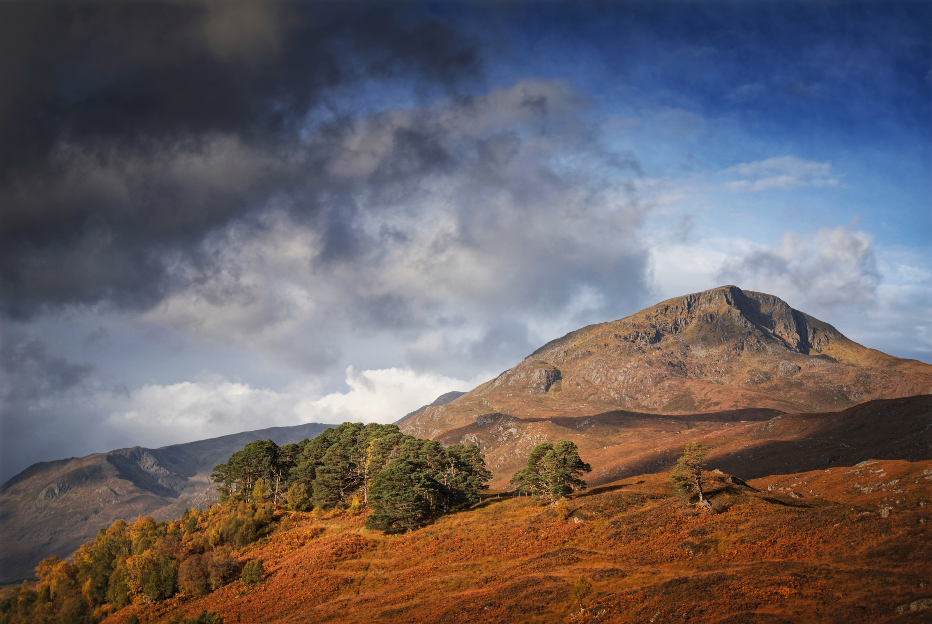
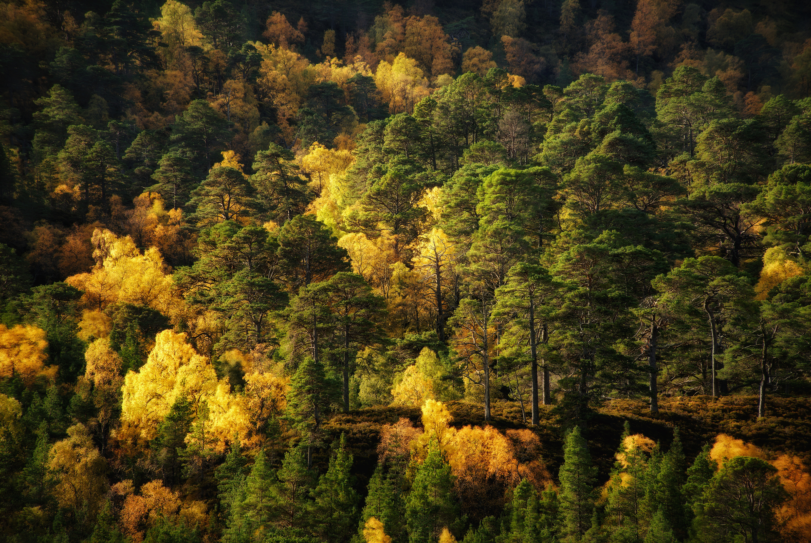
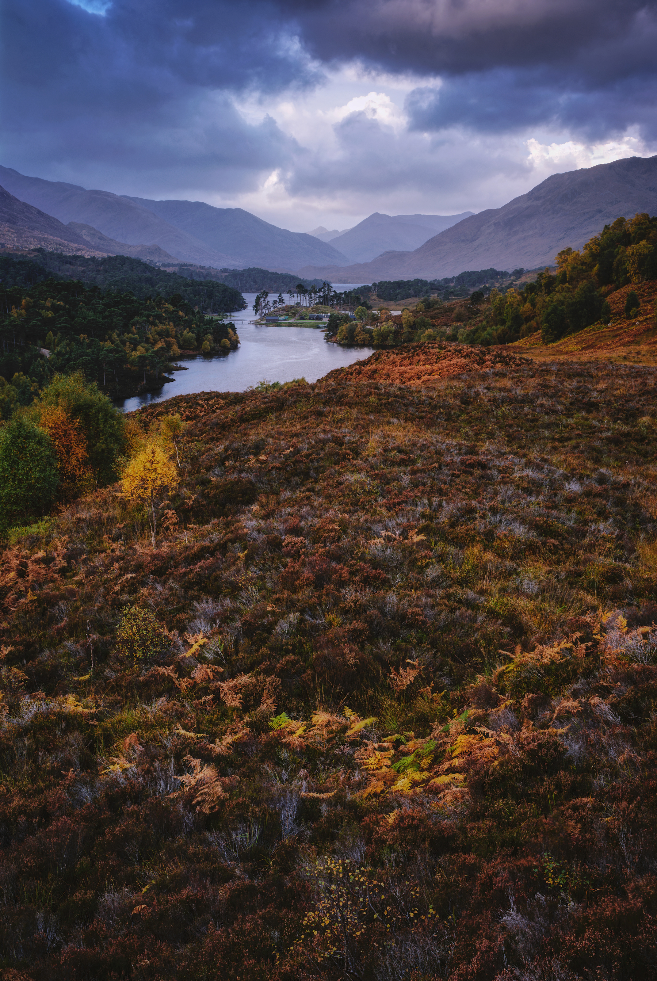
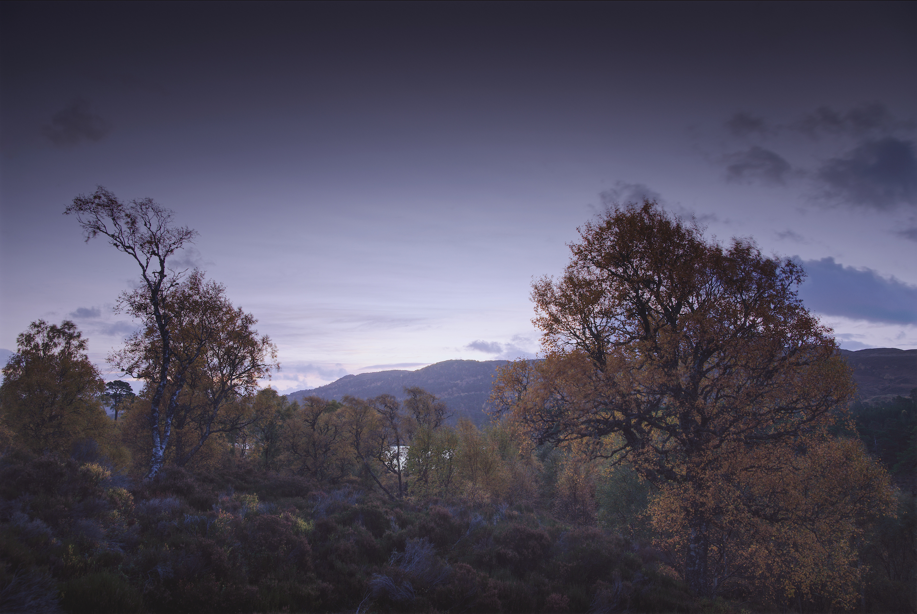
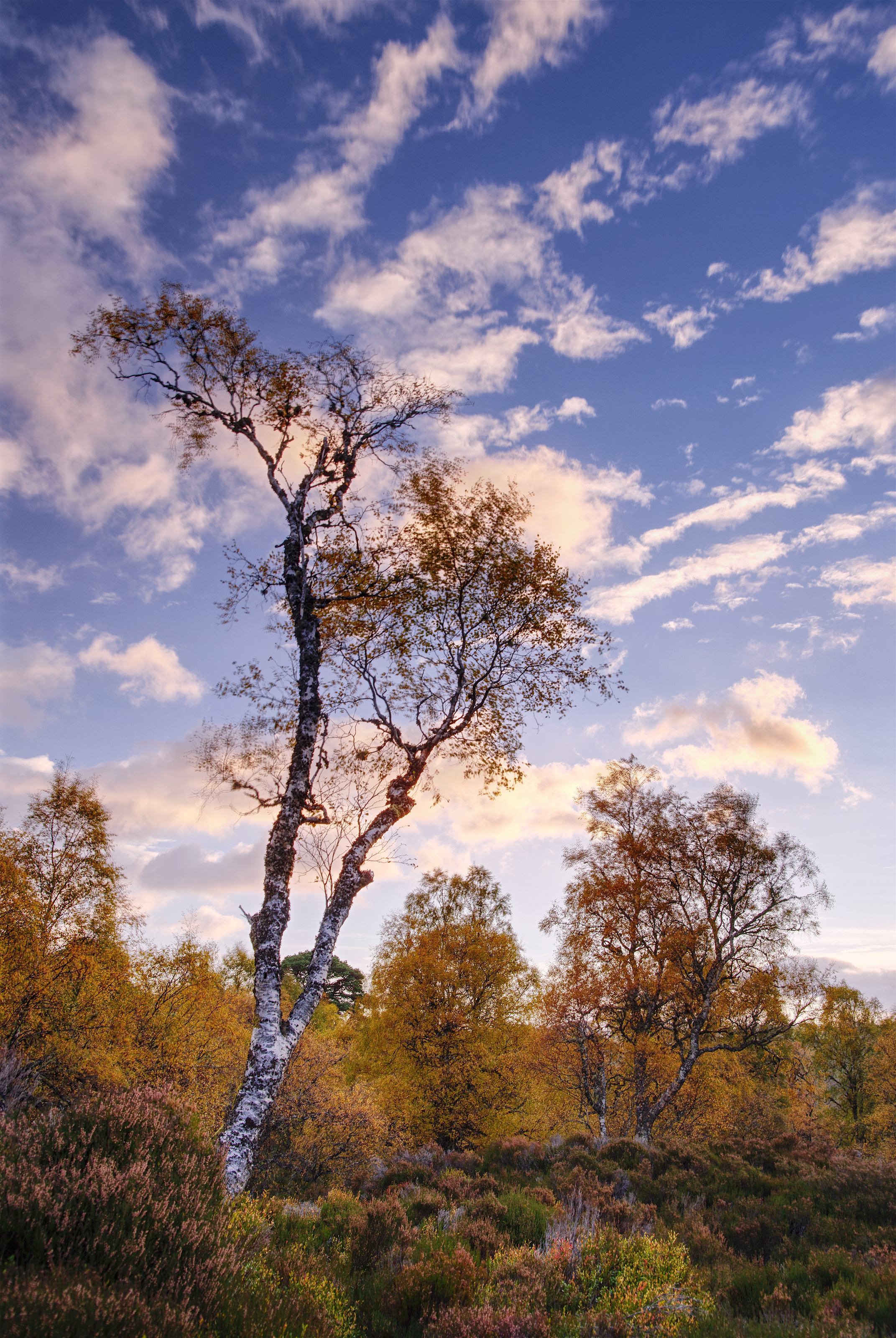
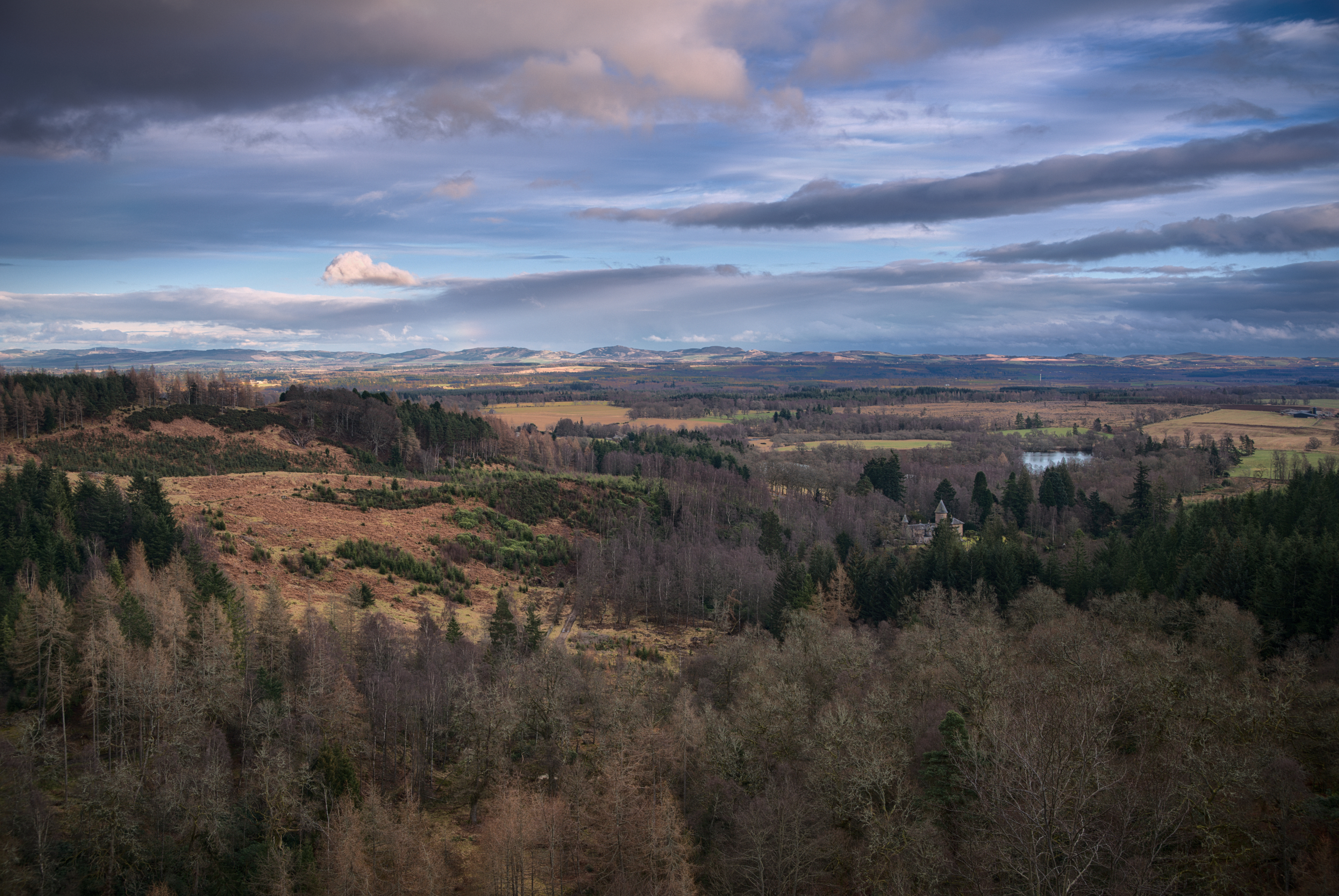
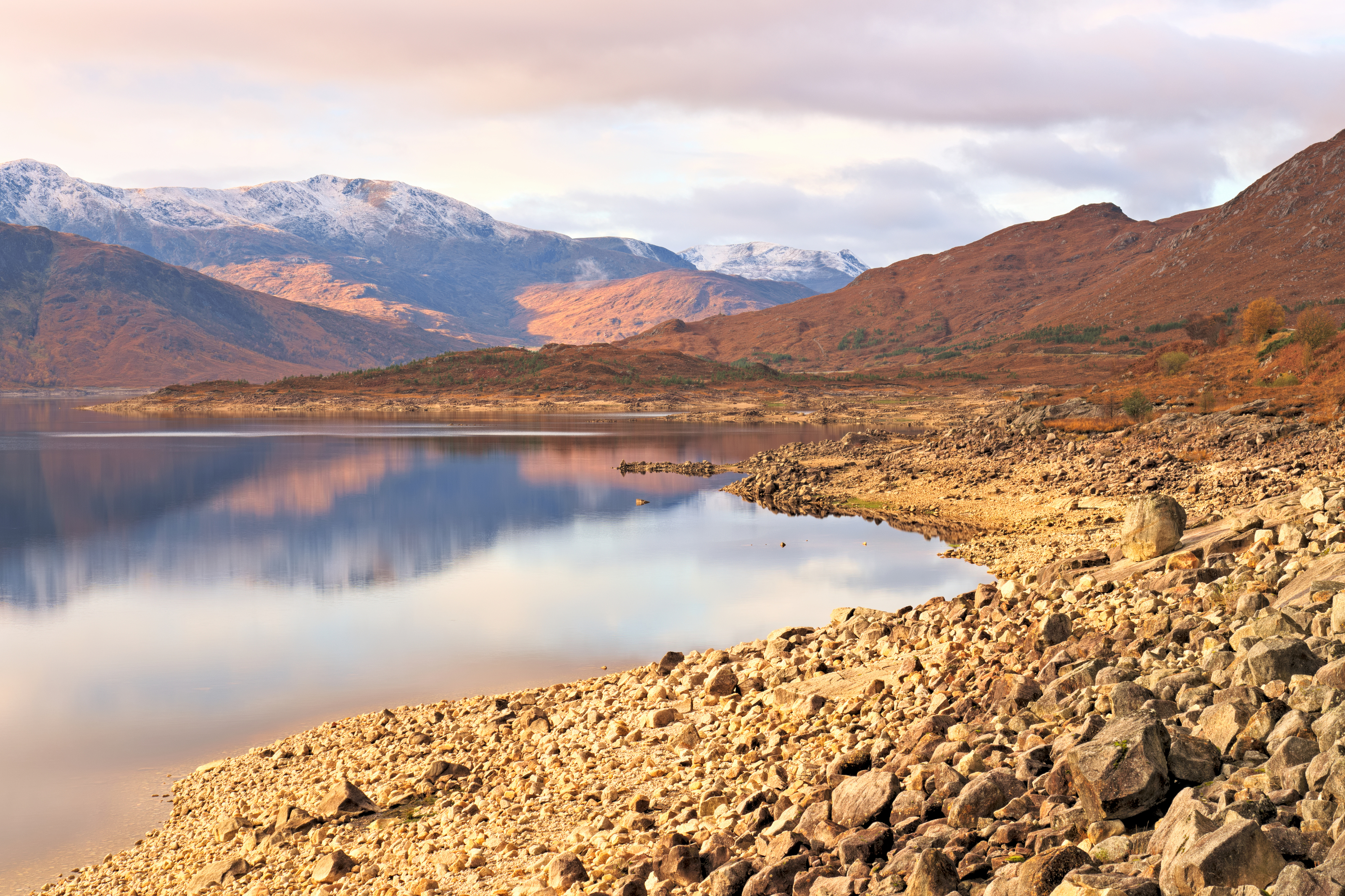
Back last November I spent a very happy few days staying up North; the first day was spent in Glen Affric (sunrise, trees, water and light).

Photo Map

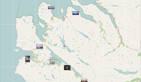
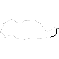
Photo Map – a long drive around Wester Ross

In the few years since I was last up there, there’s been a concerted push to market the road around the far north of Scotland as an “answer to Route 66” and thereby promote it as a tourist attraction.

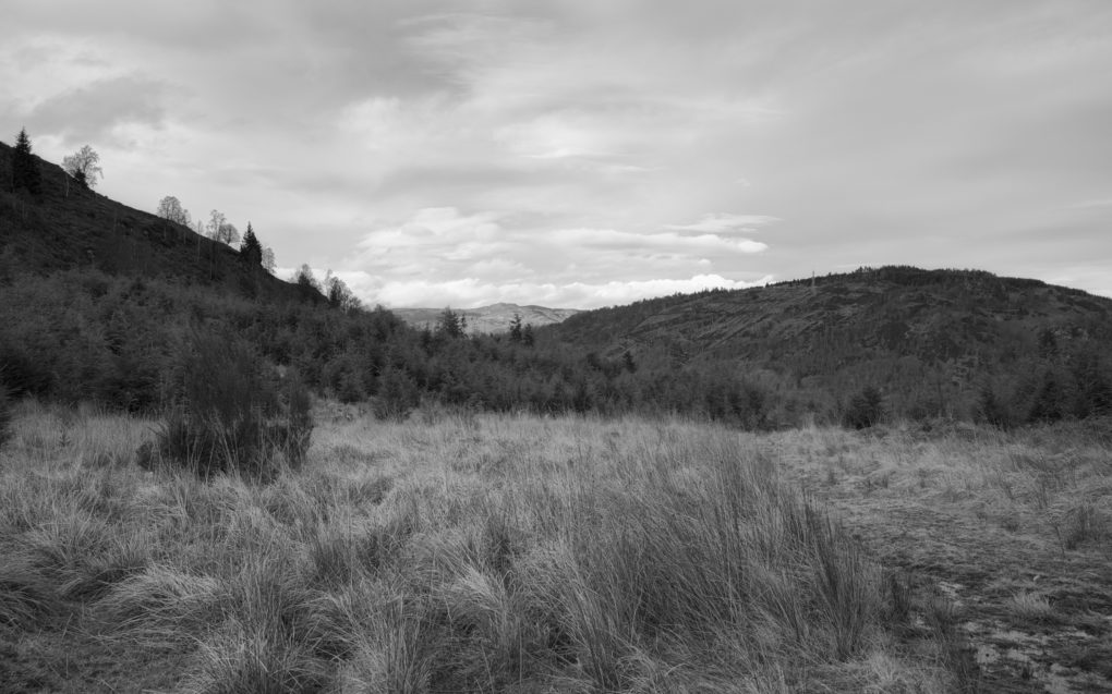
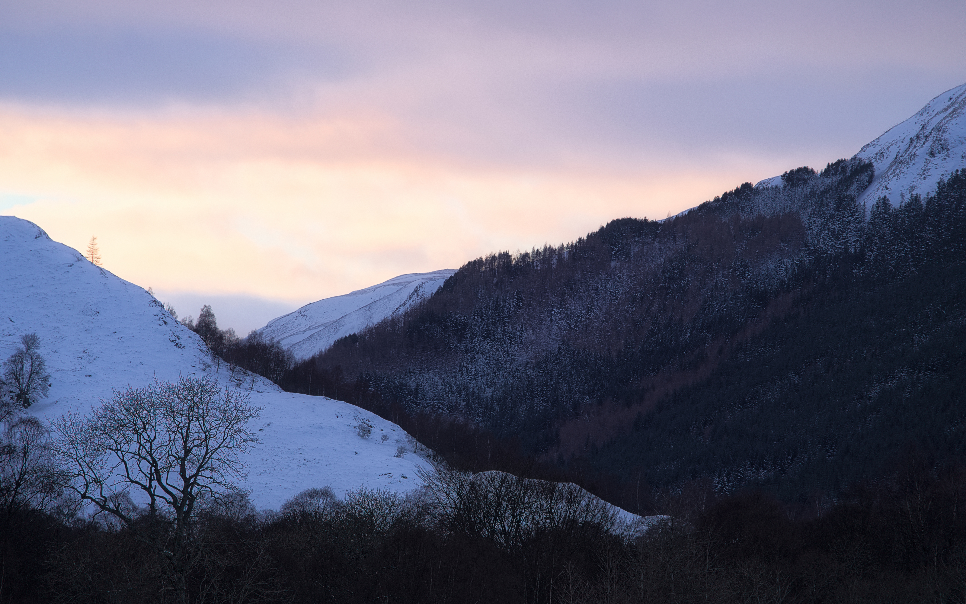
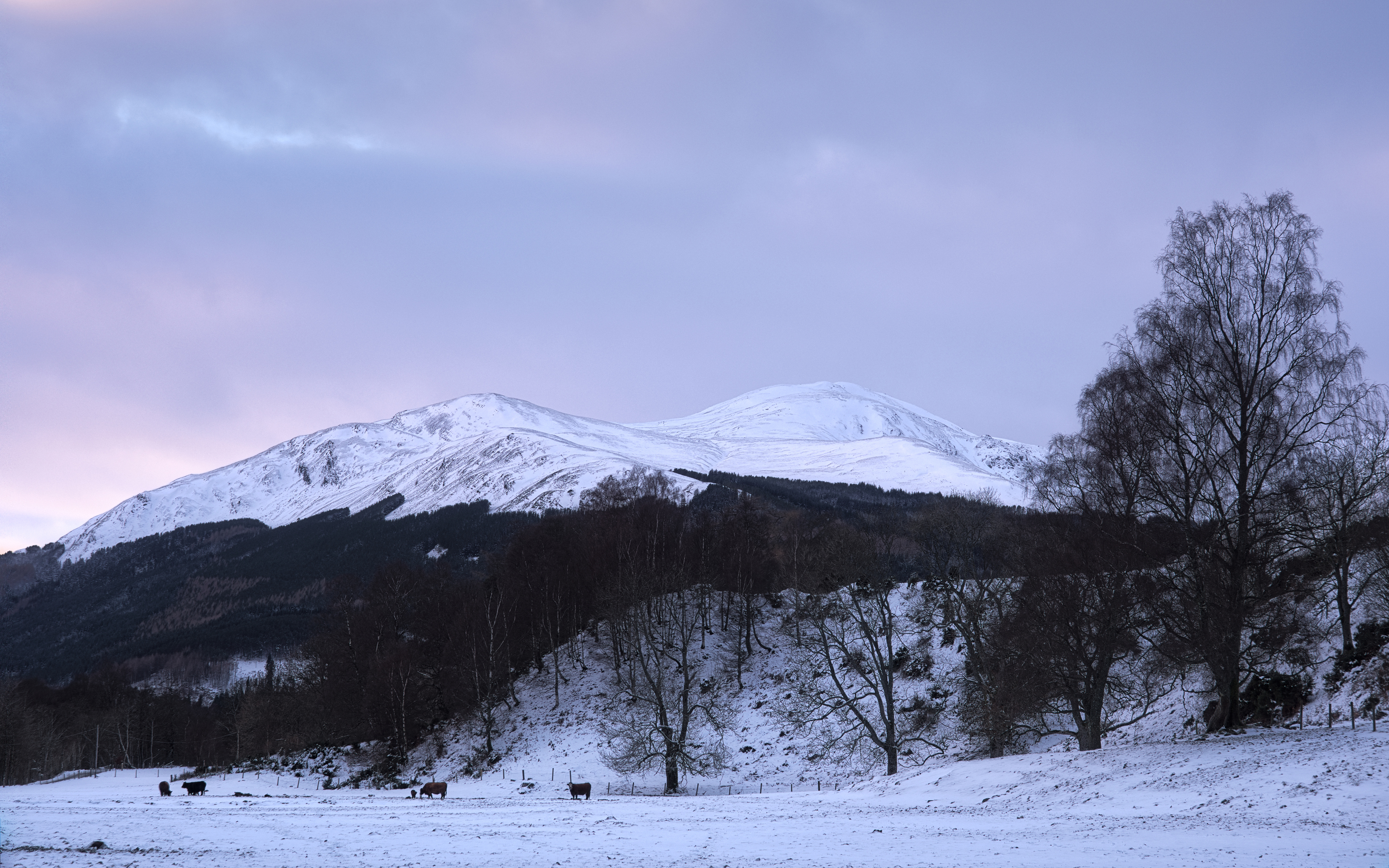
The second day of my holiday saw lousy weather, completely overcast and foggy for much of the time. So I spent the day driving around Wester Ross wondering where the scenery had got to… trying not to think of it as the NC500 but actually enjoying several stops along the route that I’ve been to previously.

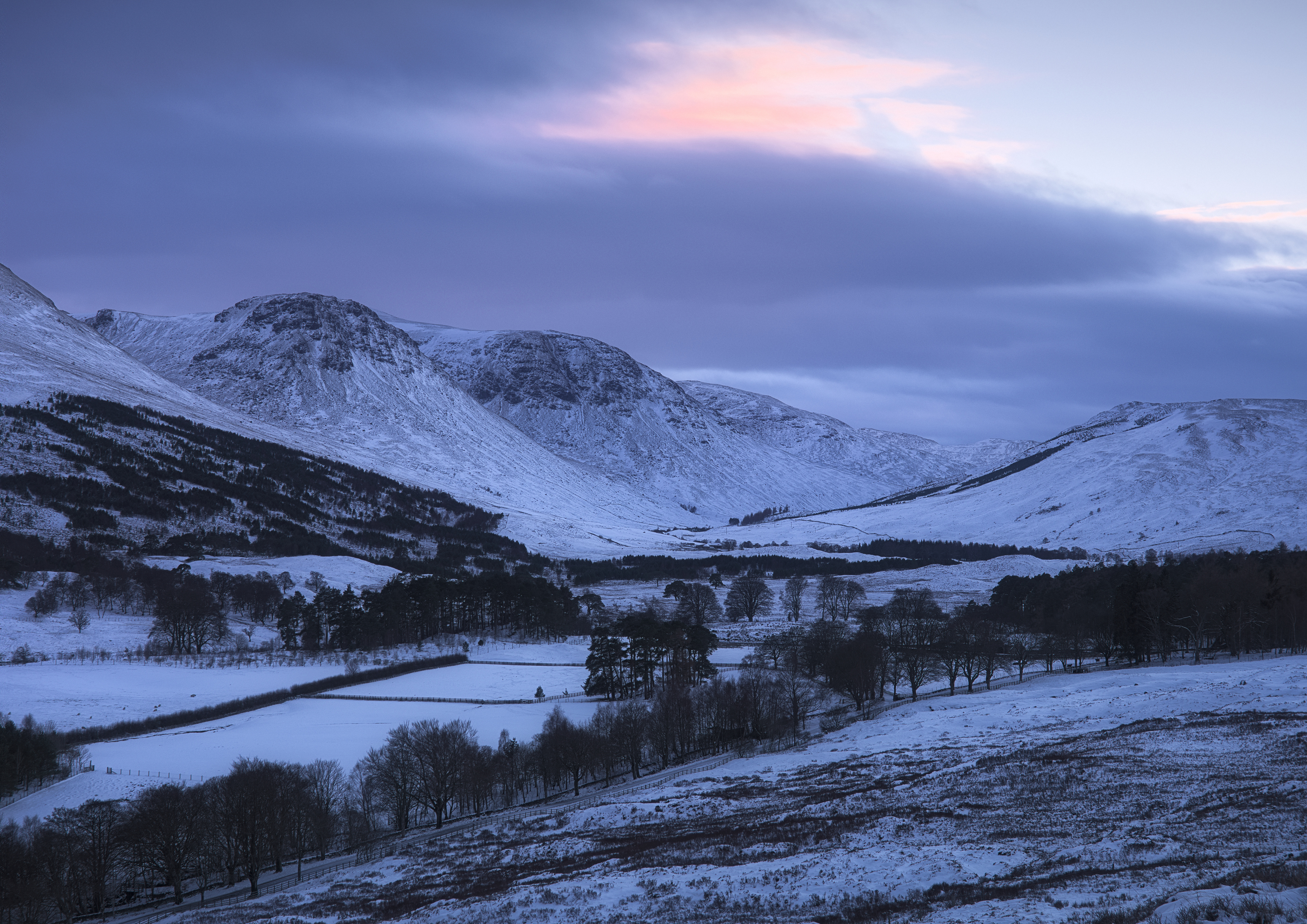
The first stop was the well-known view from a layby in Glen Dochart, above Kinlochewe to admire the sinuous road:

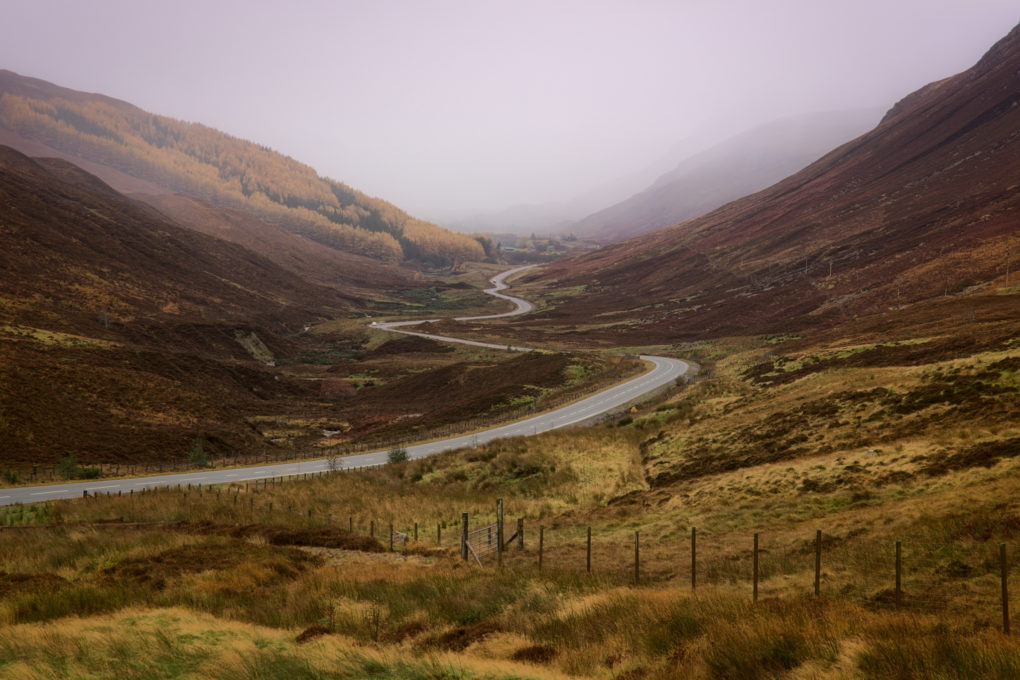
An obvious scene: the road wending through Glen Dochart toward Kinlochewe (not depicted: Kinlochewe, because of the mist).

Pity about the mist…

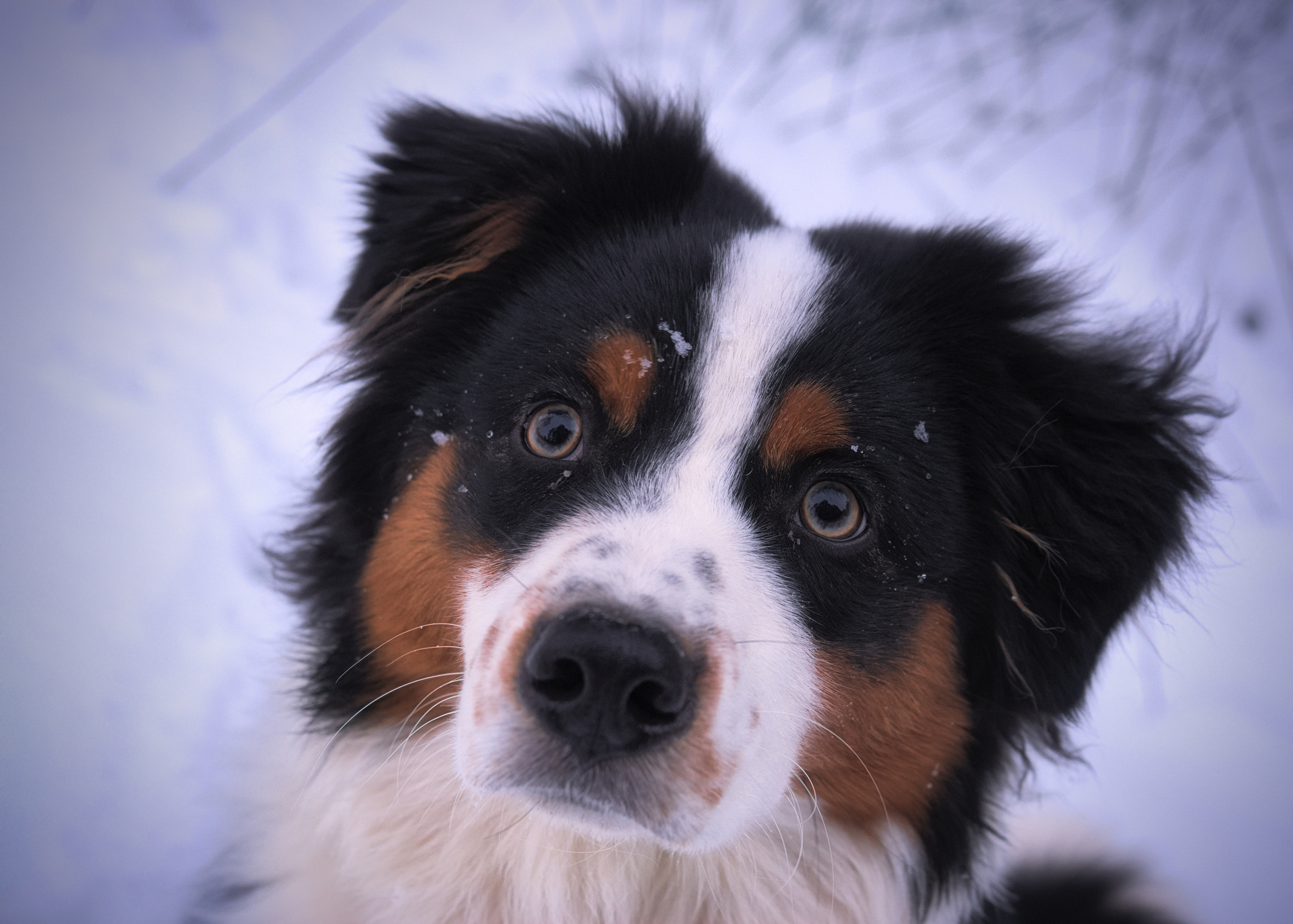
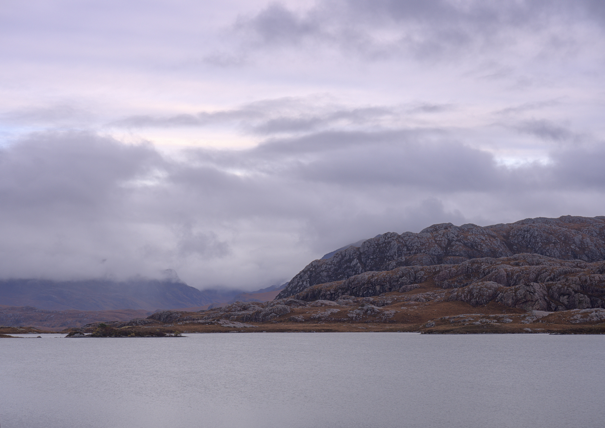
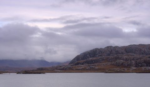
A little further along on the way through Kinlochewe are two mountains – Beinn Eighe to the left and Meallan Ghobhar and Coille na Dubh Chlaise to the right. We pulled off the A-road and Doglet had his breakfast more or less directly on the Loch Maree fault-line whilst admiring the quartzite rock strata.

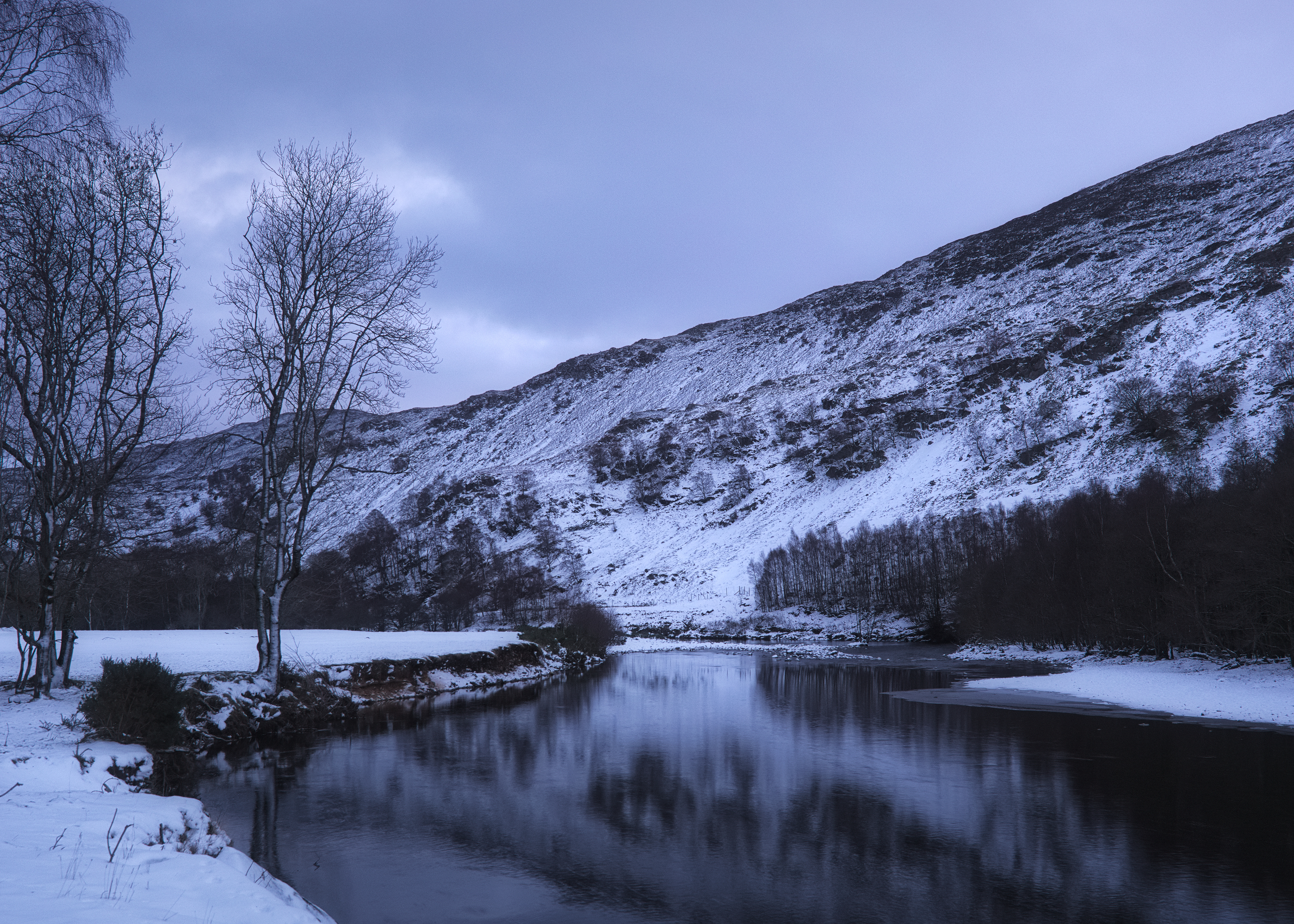
There wasn’t much to be said for the views across Loch Maree, although the contrast of dull grey skies and warm autumnal orange and yellow colours was pleasant.

Some years ago, there was a TV documentary, a former politician’s search for the most natural woodland in the UK. After much searching around down south in the New Forest, he came north and explored Caledonian Forest remnants, finally finishing up on an island in Loch Maree – a rather bizarre arrangement of an island with a lochan with another island inside that – on which he stated the trees were least likely to have been touched by mankind. There is an obvious viewpoint, a small section of beach, at Slattadale toward the north-west end of Loch Maree, from which the group of islands can be seen.

Of all the photos I made during that day, this was perhaps the most classical landscape, in that I had the idea for these photos – the location, leading lines of foreground boulders, large expanse of silvery water and Slioch in the distance – planned in my mind for ages before revisiting the area.

What you don’t see is how, while I was making these photos (long exposures, totalling a minute’s exposure, focus-stacked) there was another photographer sitting 20yd away, cooking his morning breakfast – so the photos fail to include the clouds of fragrant bacon and fish smoke billowing past the camera…

Speaking of lunch, mine happened at Badachro, at the Inn. Highly recommended – everyone loved Doglet, which is a good start, and the burger was tasty as ever. Mostly the thing I like most is how the coastline is just like Plockton – west-coast rocky sea-lochs and seaweed – but without actually being Plockton that everyone else flocks to see.

And this is what it’s really like at Badachro:
[sphere 2974]

On a previous trip I had explored as far as Poolewe but not had a chance to go further; this time I stopped off at Loch Tollaidh to admire the rocky outcrops across the water (Lewisian Gneiss and other igneous rock).

Classic Wester Ross landscape – huge lumps of Lewisian gneiss, beside Loch Tullie

Signs of industry: on the shore of Loch Tollaidh is a small jetty, presumably a put-in for boats to go inspect the small salmon farm. That and the remains of a very dead boat, wood bleached inland, caught my attention:

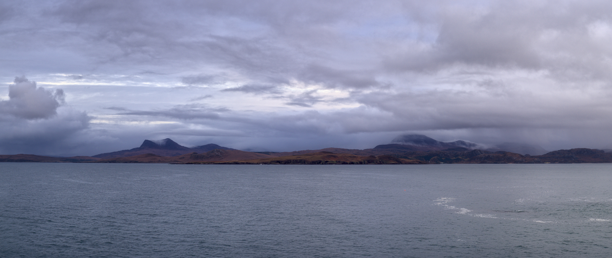
On travelling up the coast to Mellon Udrigle (what a wonderful name!) I was struck by the view across the Wester Ross Marine Protected Area to the mountains on the horizon on the mainland. On the left, a bit of misty cloud drapes over the top of Beinn Ghobhlach; to the right, there’s more mist flowing over Sail Mhor but the huge bulk of An Teallach was completely hidden behind the cloud.

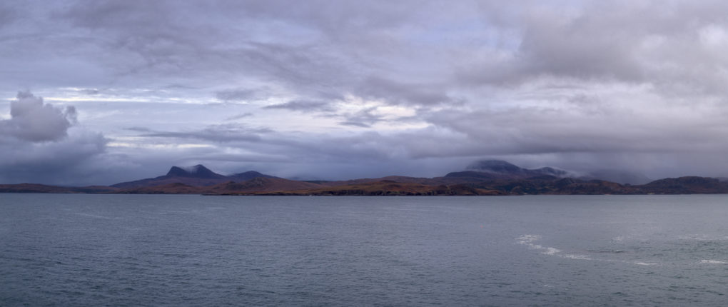
A wide-angle panorama: low-lying cloud (with a bit of precipitation) and mist flowing over Sail Mhor – the full bulk of An Teallach is completely hidden in the cloud beyond.
The mountain on the far left is Beinn Ghobhlach.

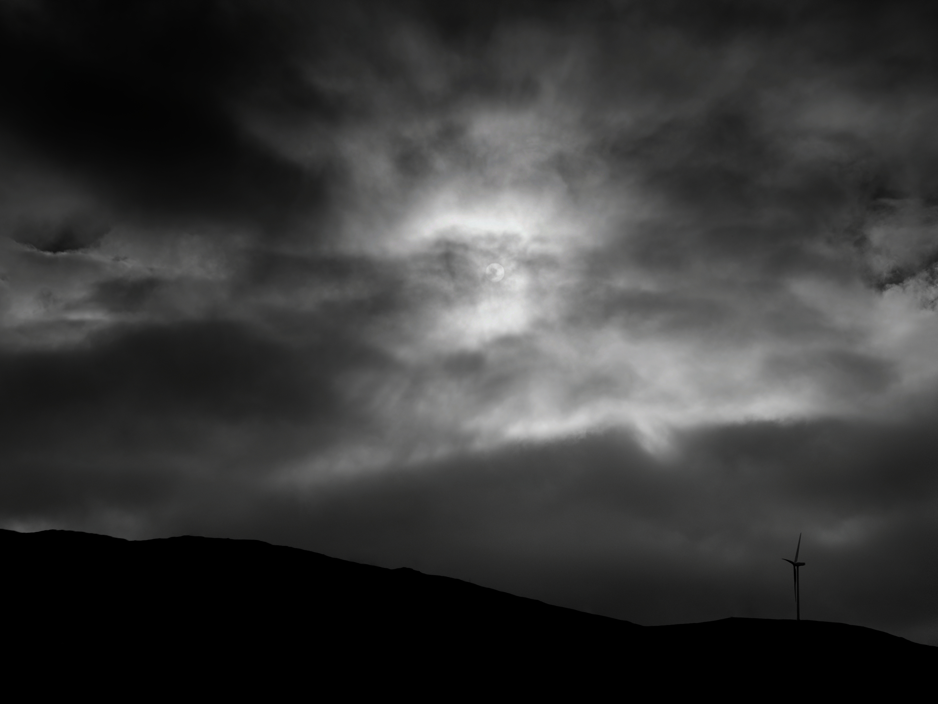
By the time I got back onto main roads, with a very long drive ahead, the light was fading fast toward dusk and the blue hour and clouds in front were thick and closing in fast, so I made one final photo for the day by the side of Little Loch Broom and scarpered fast.

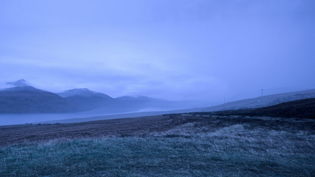
Lots of mist in the distance, travelling the A832 past Beinn Ghobhlach.
I was rather glad to get back in the car and head off before the weather got really bad!

Winter along the Provost’s Walk

This is fast becoming one of my favourite walks around town – not least because it’s less muddy than the other track out the back. Yesterday I awoke to find the world had turned white, complete with snow-drift piled-up on the front lawn by a passing snowplough. Naturally, over-inflated reports of traffic confusion abounded, although by the time I had to drive anywhere in the evening, the roads were as clear as a bell.

Anyway. I like this path. The Ruthven Water makes a great spot for the Doglet to paddle. All very relaxing and shiny in the white snow.

This is what it’s like around here…

Provost’s Walk:

Arty photos:

All shots taken on the Pentax K-1 using my new hand-held HDR workflow.