I wouldn’t be the only person to favour Scotland’s west coast – its beautiful landscape, impressive geology.
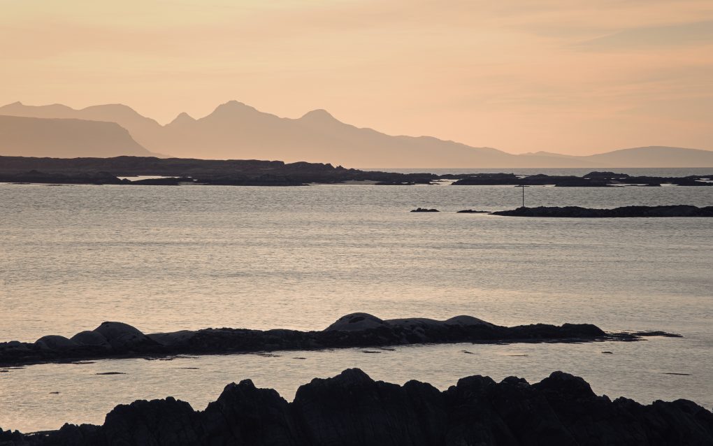
After a day exploring outside and around Mallaig, I stopped at Arisaig to catch the sunset and was not disappointed.
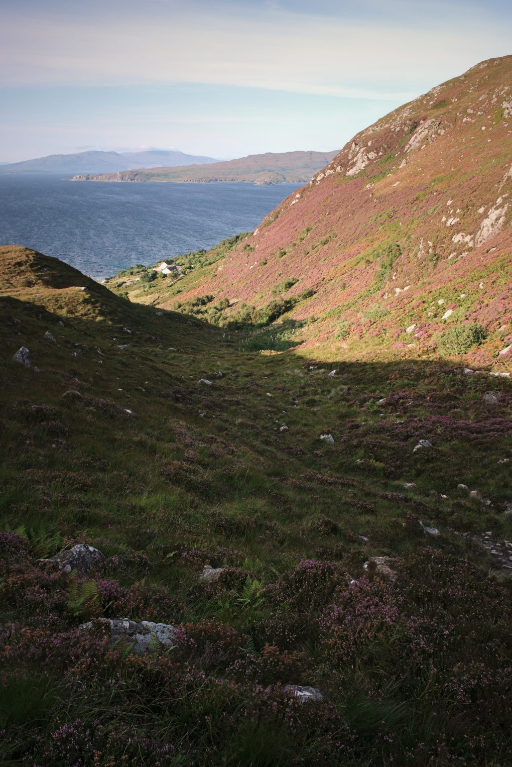
First, a couple of obvious scenes at the end of the road, the low warm light skimming lines of rock
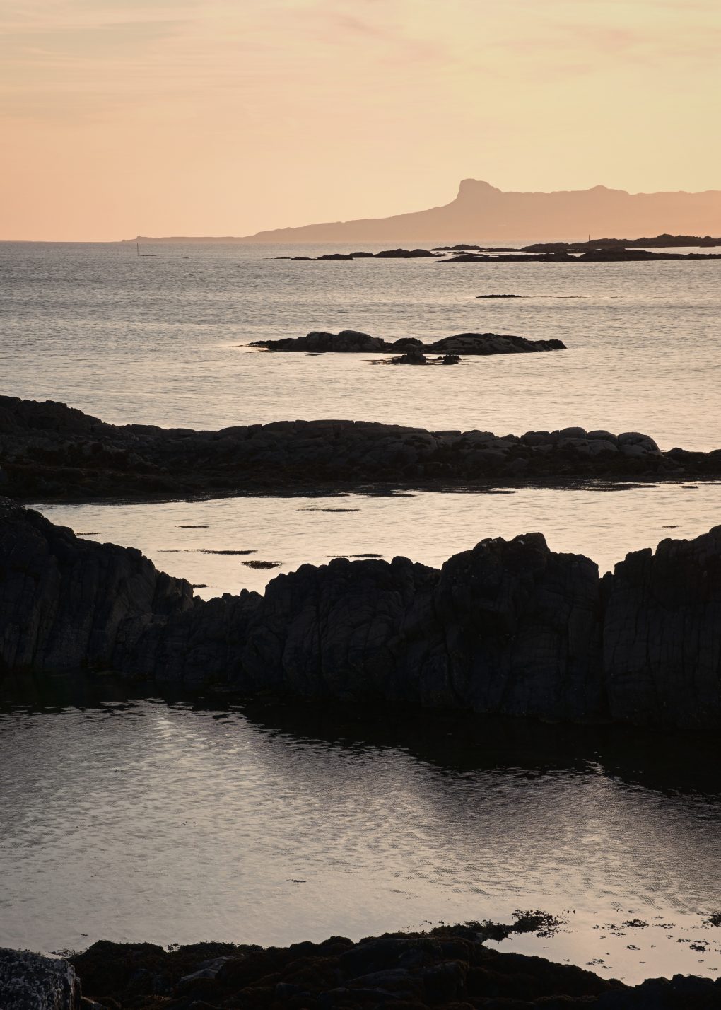
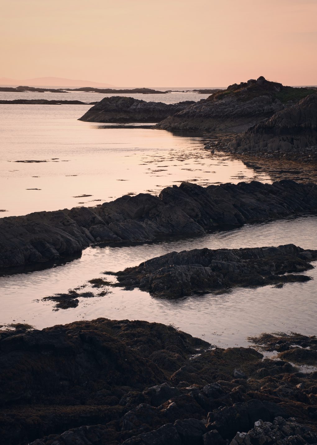
A favoured location – can’t beat a day on the west coast of Scotland, the beautiful landscape, impressive geology. After a day exploring, I stopped at Arisaig to catch the sunset and was not disappointed. This was an easy composition to find, the lines of psammite rock zig-zagging through the vertical frame, all illuminated by the bright warm/orange sunset light from the west.
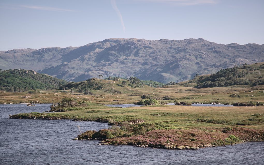
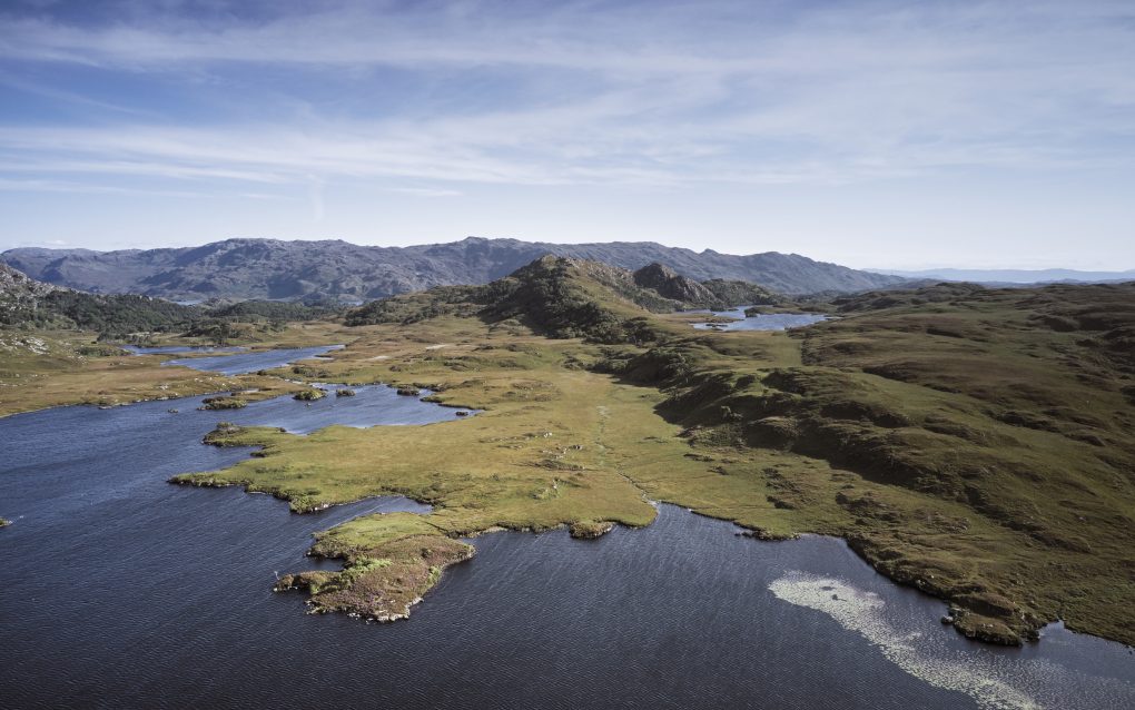
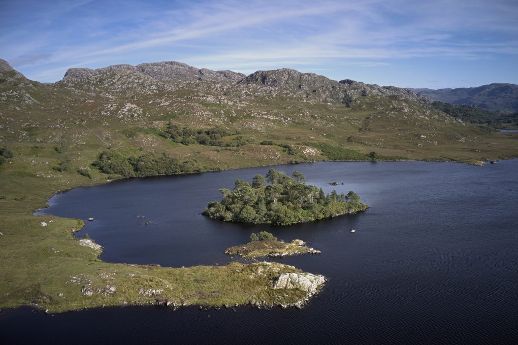
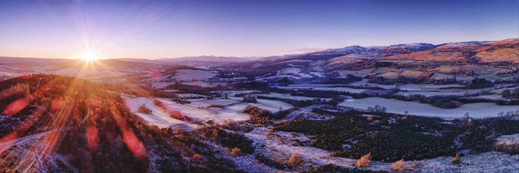
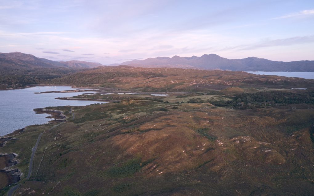
I flew the drone a little way out over Loch nan Ceall for a more elevated perspective. The light was turning red, catching the rugged hills nearby
The view out west directly toward the setting sun was particularly impressive
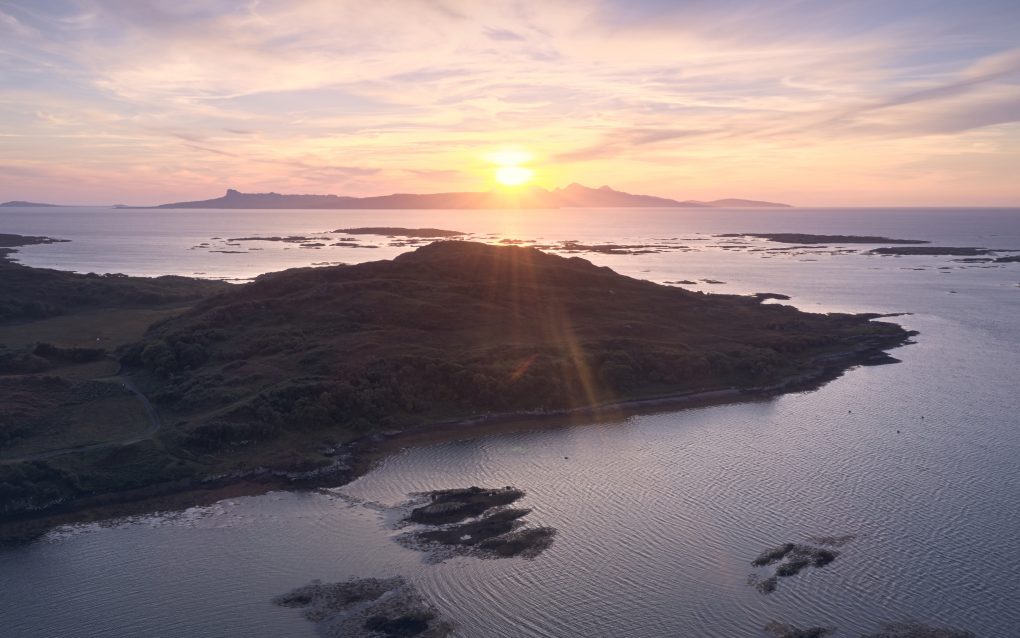
A favoured location – can’t beat a day on the west coast of Scotland, the beautiful landscape, impressive geology. After a day exploring, I stopped at Arisaig to catch the sunset and was not disappointed. So I flew the drone out over some small islands just off the shore of Loch nan Ceall – the imaginatively named Sgeirean Buidhe (“yellow reefs”) and caught the sunset over Torr Mòr 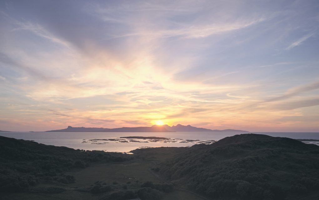
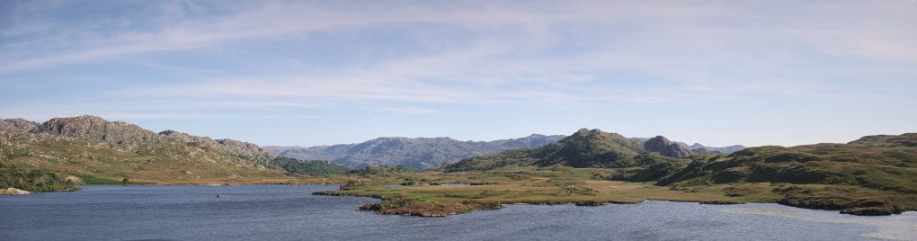
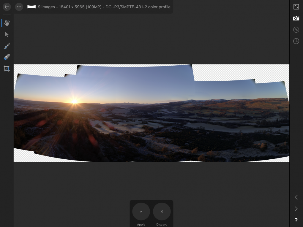
The 360º panorama is one of my favourite art-forms: for best results, the optimum workflow is:
- choose a location directly above some non-uniform structured area – not just directly above the sea but over a reef, so the panorama can stitch properly
- think about the contrast-ratio from brightest to darkest areas of the scene; if the sun is visible, use a narrow aperture (f/10 or thereabouts) so the diffraction-spikes cling closer to the sun; choose an exposure such that the brightest part of the scene is just beginning to overexpose – typically you can recover 2/3EV highlights in post but the shadows get noisy fast and with a direct into-the-sun shot the shadow-side can easily require a 3EV shadow-lift
- shoot RAW DNGs and ignore the JPEG
- use RawTherapee to convert the JPEGs – apply lens distortion correction and a small amount of tonemapping, maybe even the dynamic-range-reduction module
- use Hugin to stitch the panorama: optimize for position, barrel distortion and view but not translation; use equirectangular projection and auto-straighten; ensure the FoV is 360×180º (it may be out by 1, ie 179º); use blended+fused output for noise-reduction, unless it introduces stitching edge artifacts
- finish, including toning and noise-reduction/sharpening, in darktable.
[sphere url=”http://soc.sty.nu/wp-content/uploads/2021/09/PANO0001-PANO0026-v2_blended_fused-0-0017-scaled.jpg” title=”Arisaig sunset over Loch nan Ceall”]
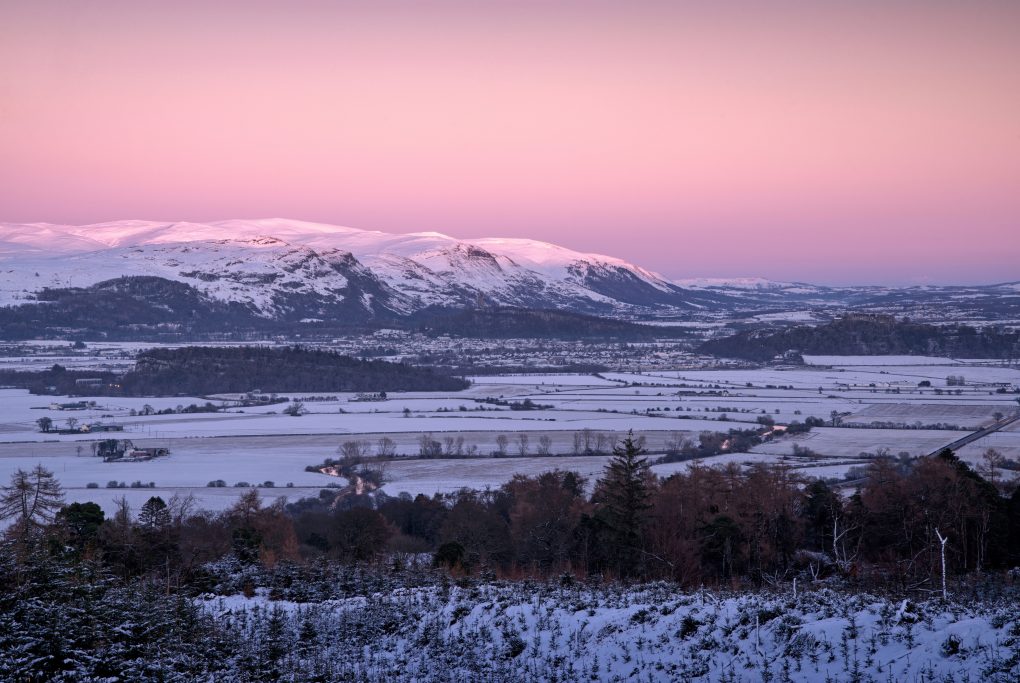
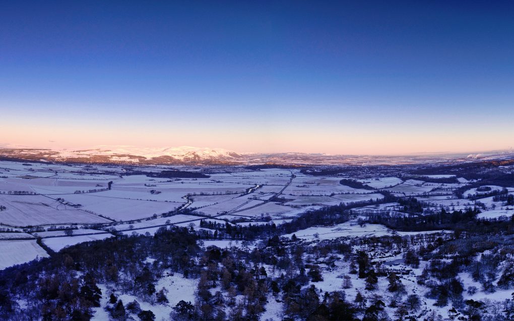
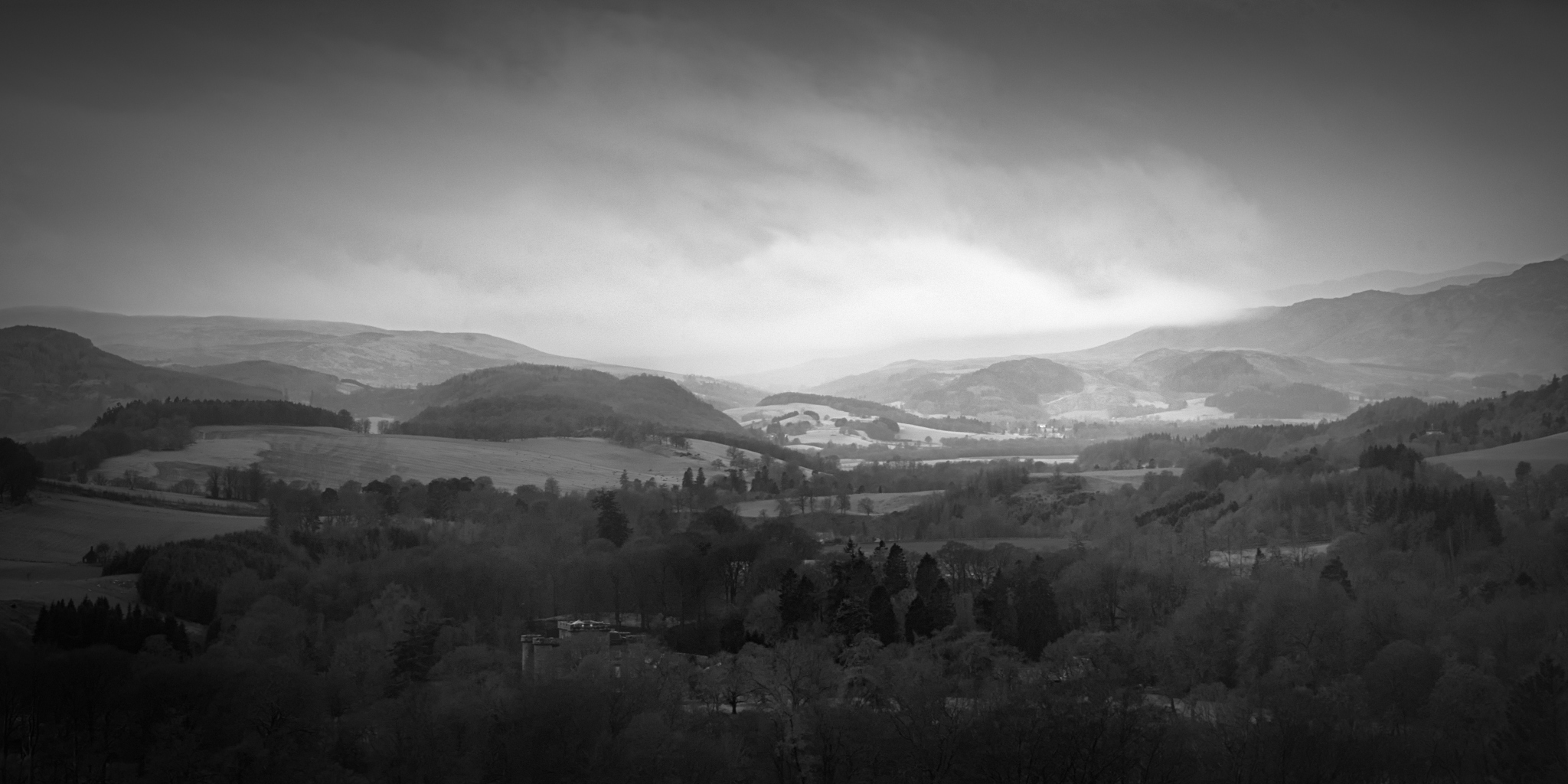
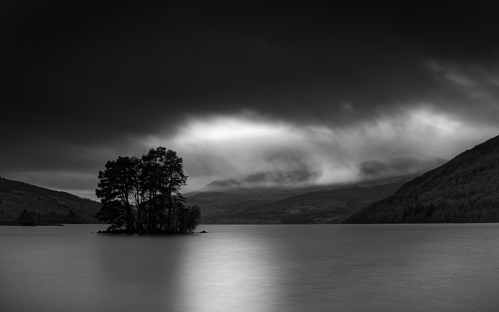
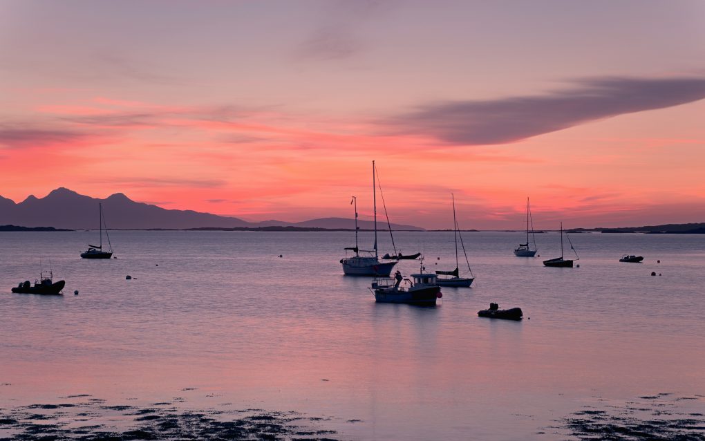
Finally, just as I started the return drive, the sky provided yet more drama to see me on my way:
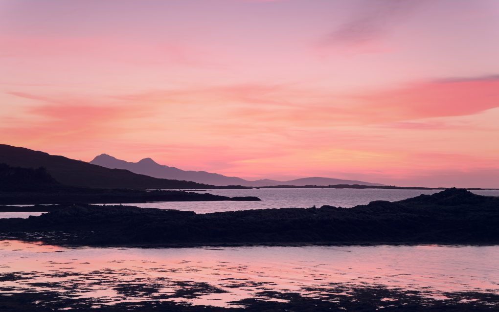
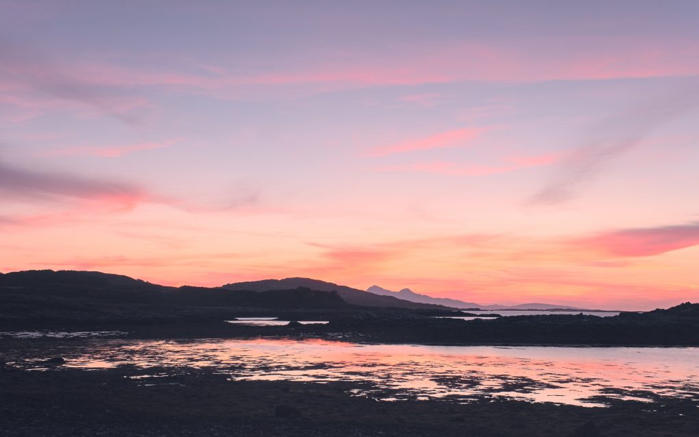
A favoured location – can’t beat a day on the west coast of Scotland, the beautiful landscape, impressive geology. After a day exploring, I stopped at Arisaig to catch the sunset and was not disappointed – the sky provided these beautiful parting shots of the sunset fading to twilight just as I was driving away. 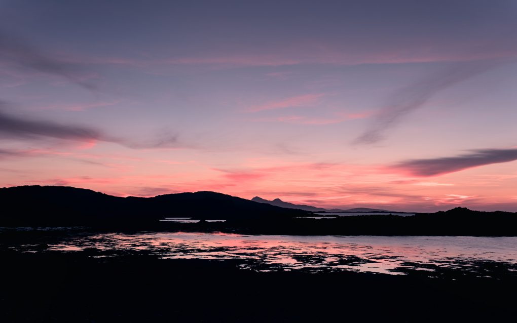
A favoured location – can’t beat a day on the west coast of Scotland, the beautiful landscape, impressive geology. After a day exploring, I stopped at Arisaig to catch the sunset and was not disappointed – the sky provided these beautiful parting shots of the sunset fading to twilight just as I was driving away.
A selection of the above photos are available on my gallery website as prints, cards, masks and other products: Arisaig on ShinyPhoto.