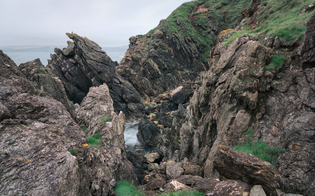
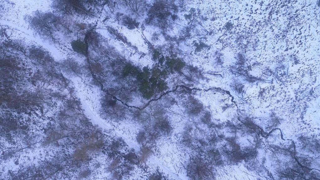
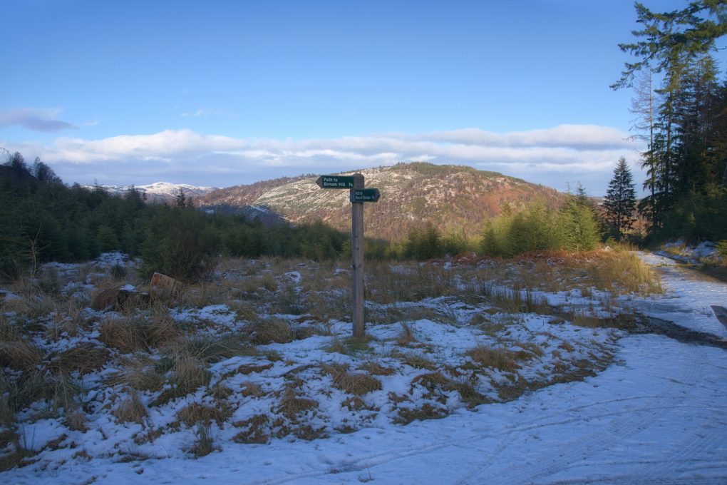
A few years ago I discovered a pleasant gentle walk route around the Water of Ruchill outside Comrie. Almost entirely flat, it follows a loop from the village centre through scrub woodland (ideal shade on a sunny day!) along the side of the river past fields formerly occupied by a Roman fort, down to Cultybraggan PoW camp and back along the main B-road for a bit before taking a detour along a path from a standing stone over fields into the southern end of Dalginross and back along the streets to where it started.
In the town centre, the White Kirk stands out for its architecture with prominent tower and spire. Formerly the parish church, it is now home to a community centre.
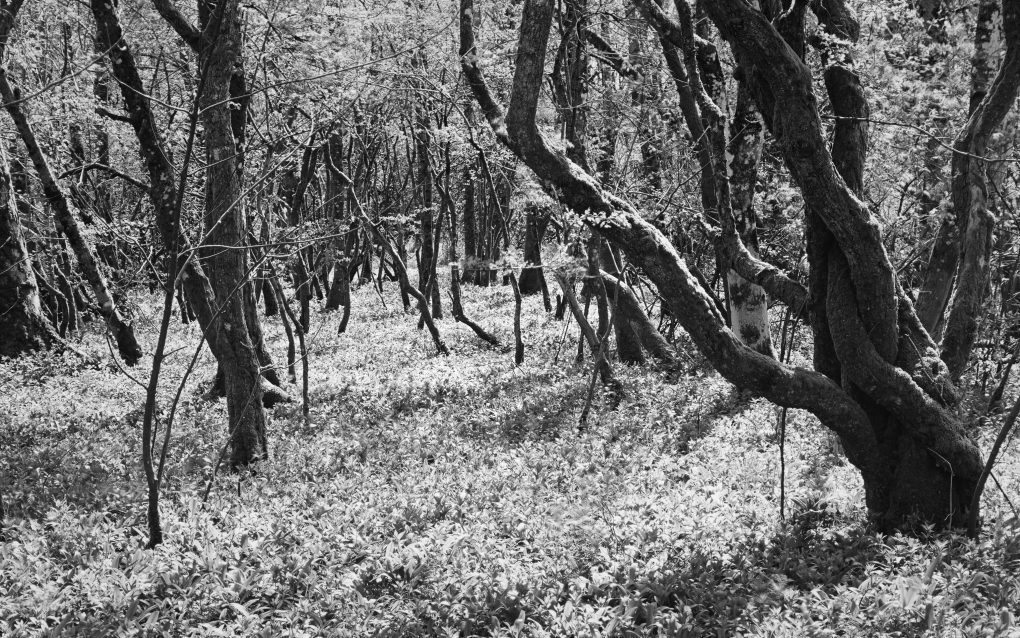
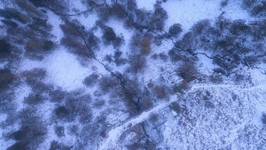
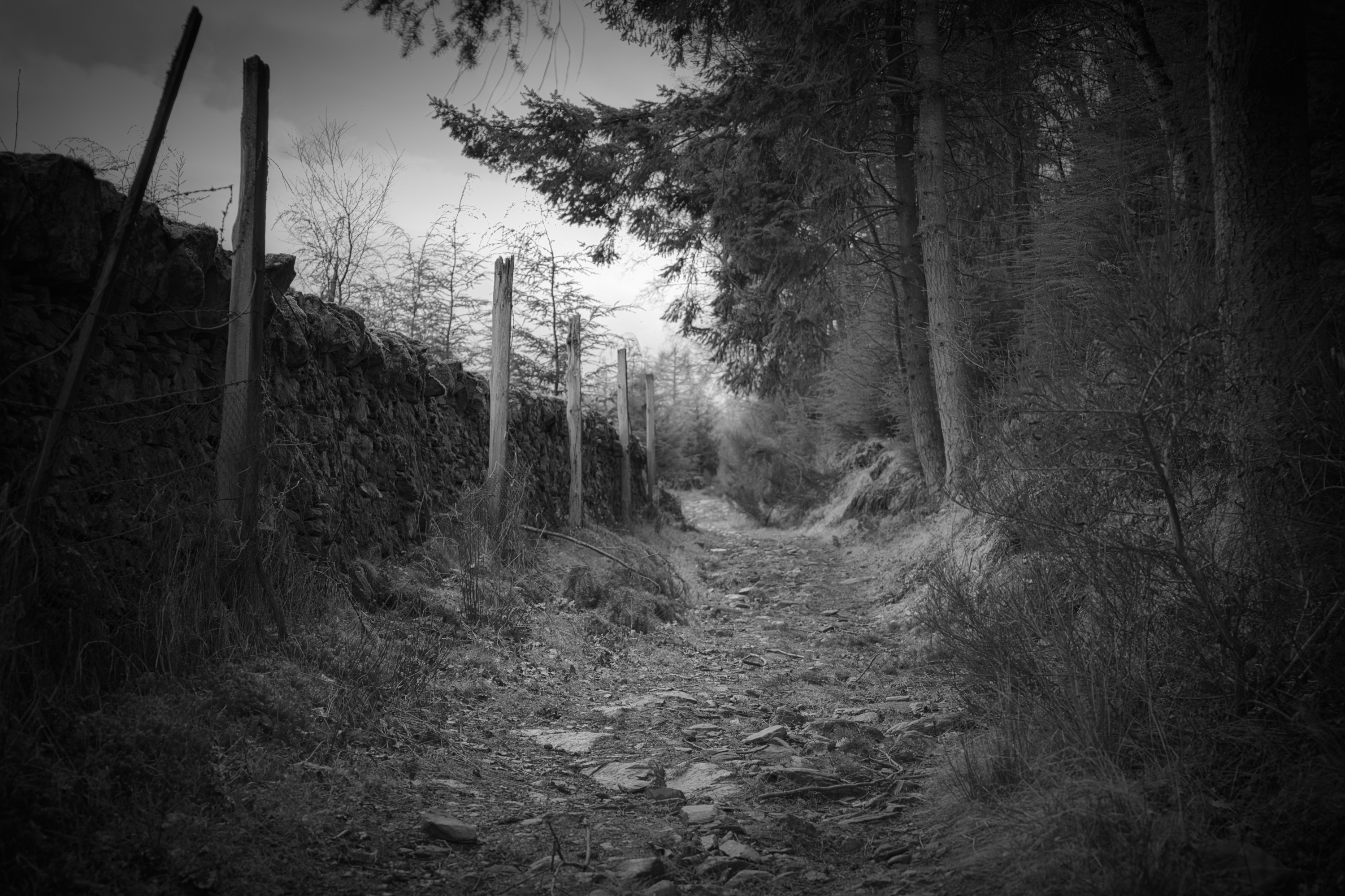
Scrub woodland detail: a plethora of small gnarly trees amid a sea of wild garlic. Taken on a stroll around the Water of Ruchill walking route. 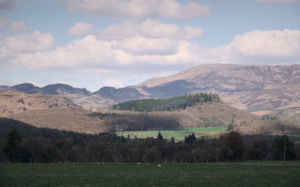
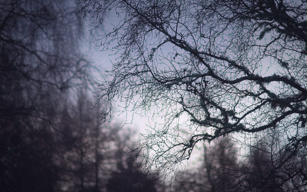
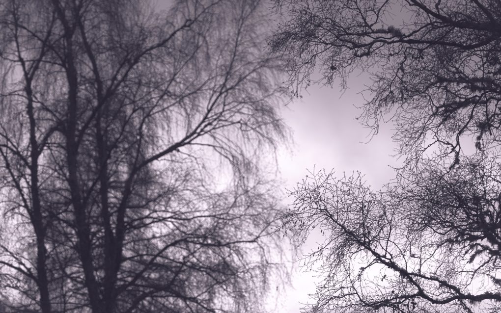
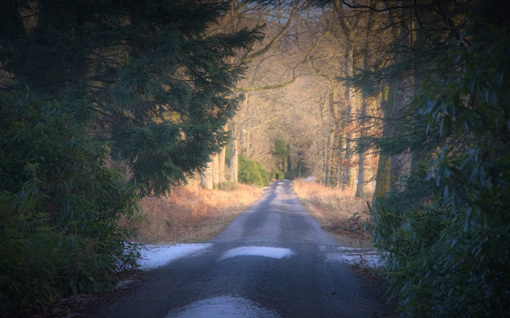
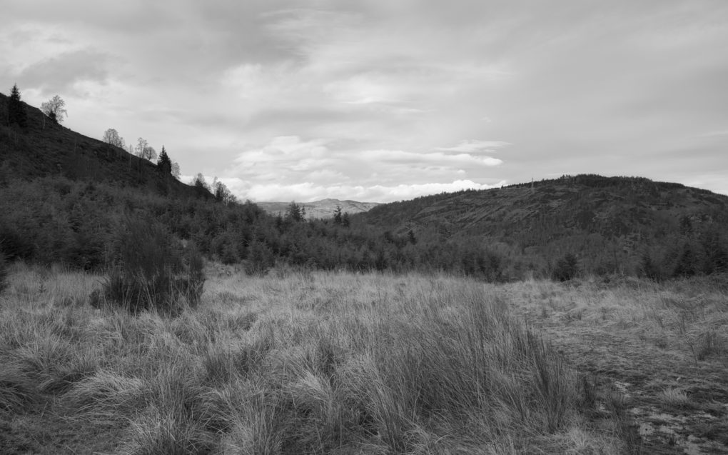
Taken on a stroll around the Water of Ruchill walking route.
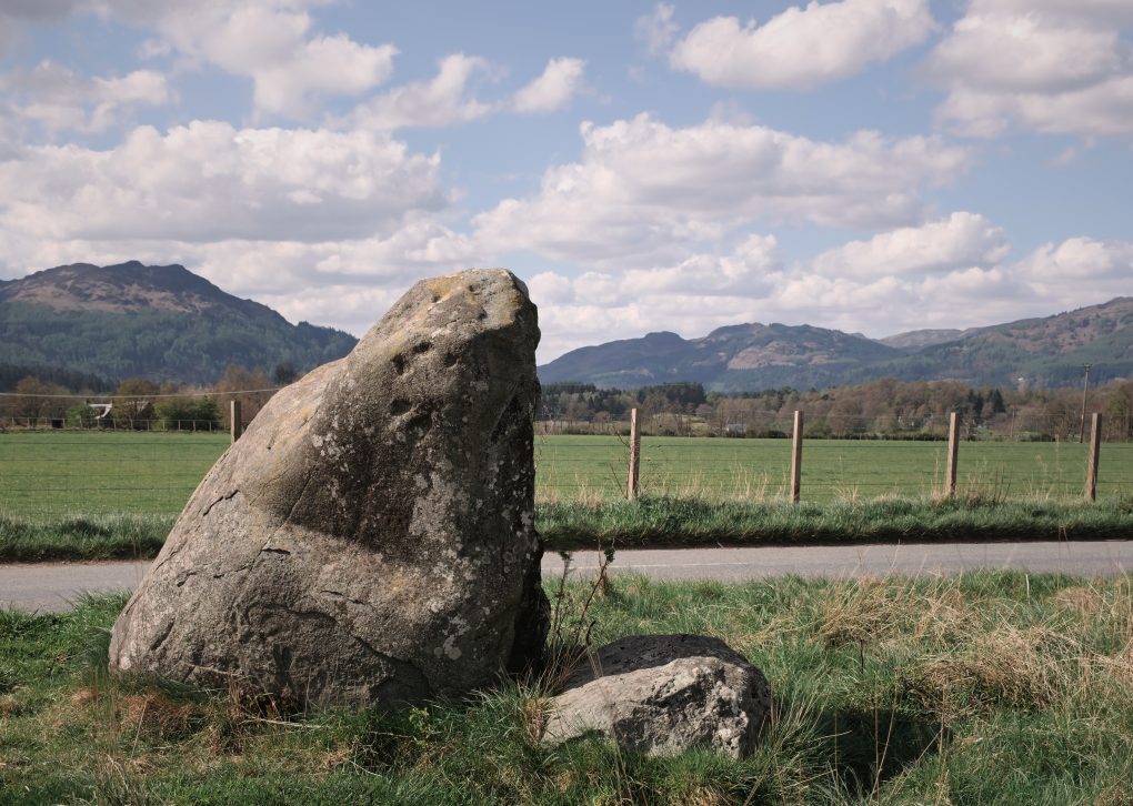
One of a handful of standing stones in the West Cowden farm area, hinting at possibly being a stone circle, the cup-marked “Roman Stone” sits beside the B827 south of Comrie. 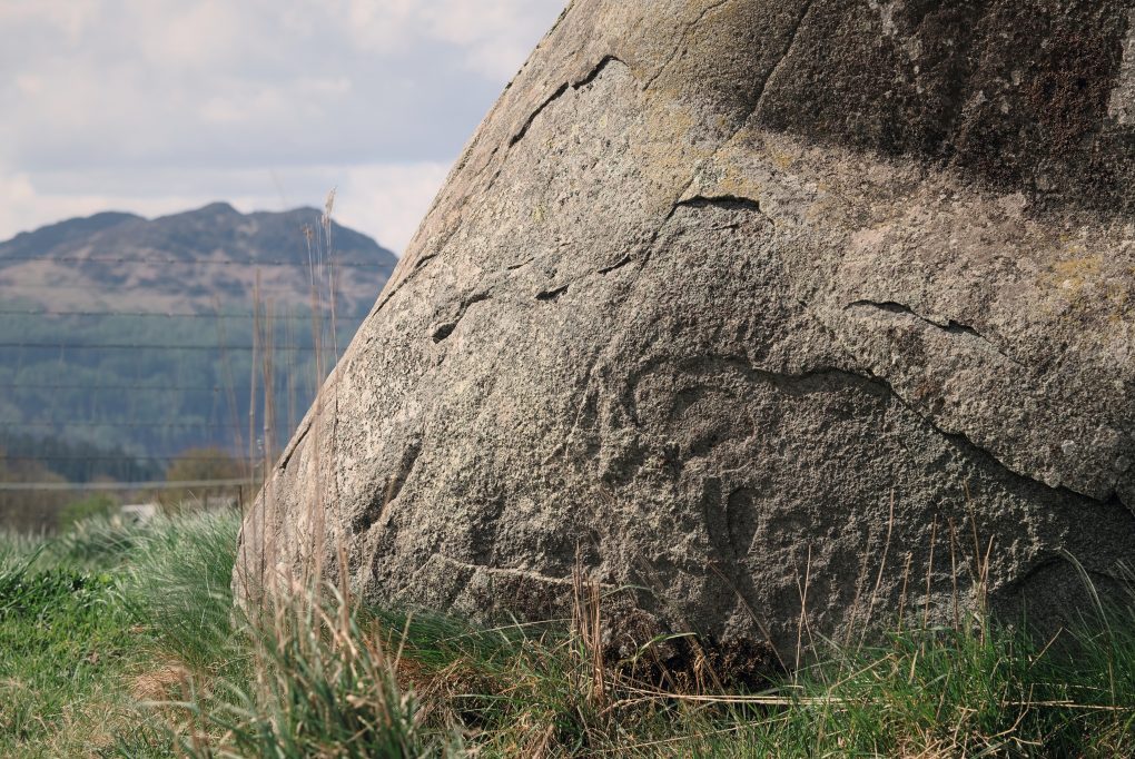
One of a handful of standing stones in the West Cowden farm area, hinting at possibly being a stone circle, the cup-marked “Roman Stone” sits beside the B827 south of Comrie.
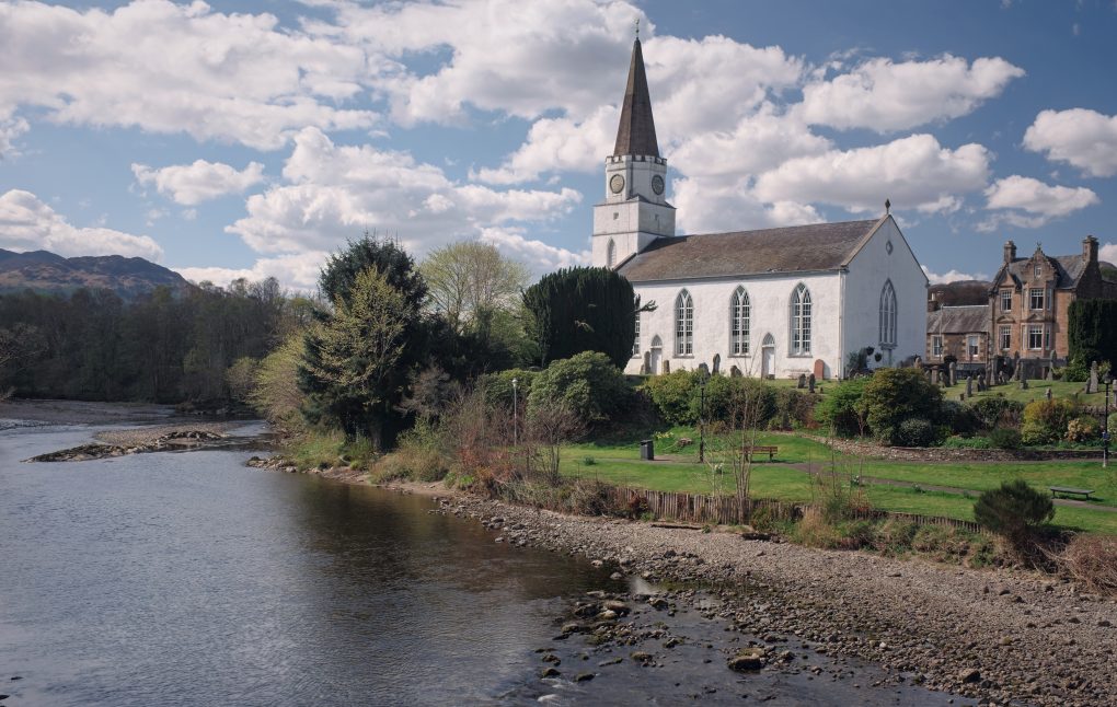
A striking building with its tower and spire, formerly the parish church but now home to the community centre. 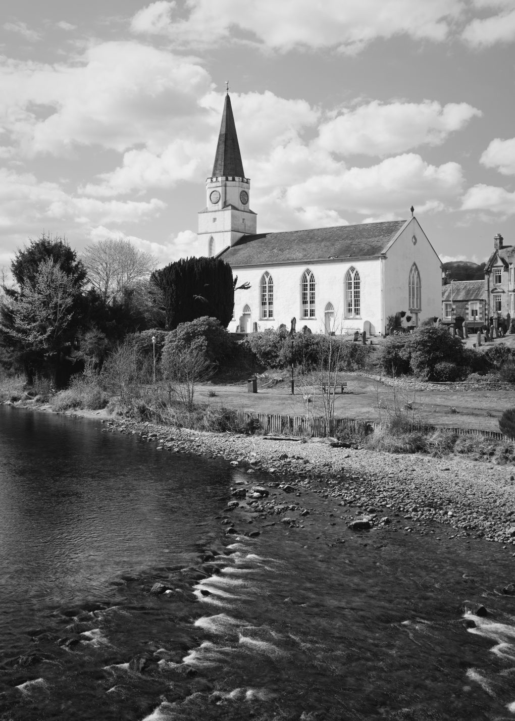
A striking building with its tower and spire, formerly the parish church but now home to the community centre. 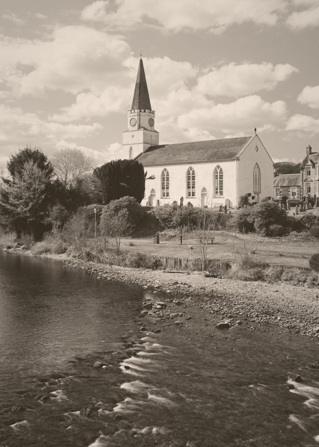
A striking building with its tower and spire, formerly the parish church but now home to the community centre.
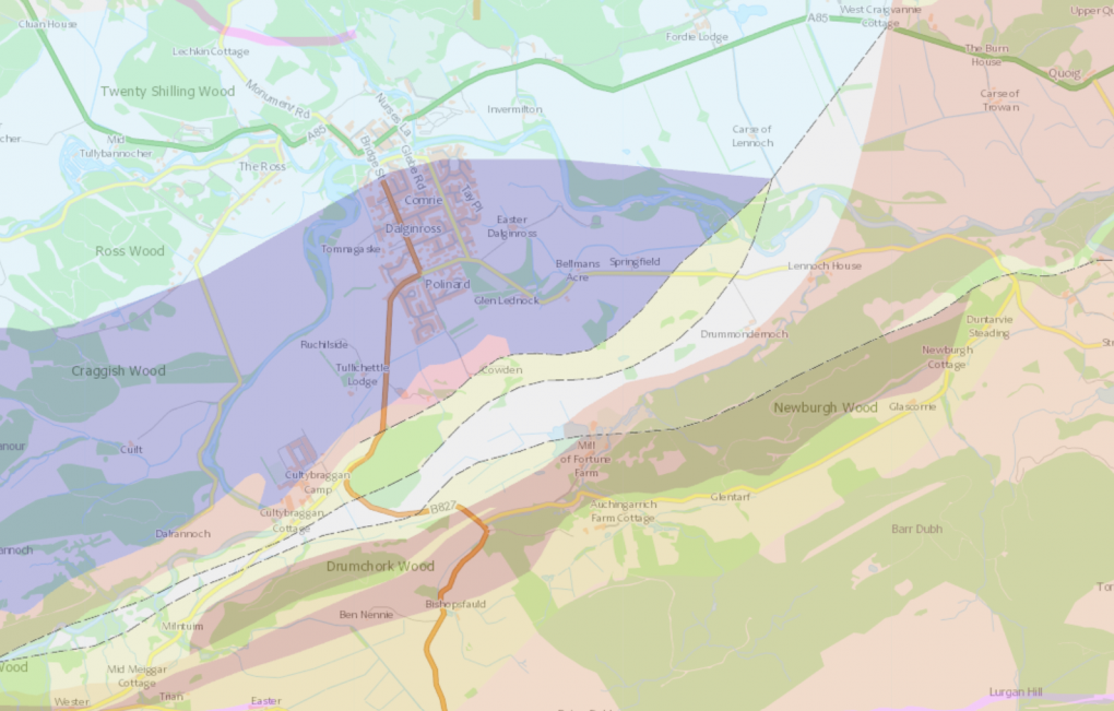
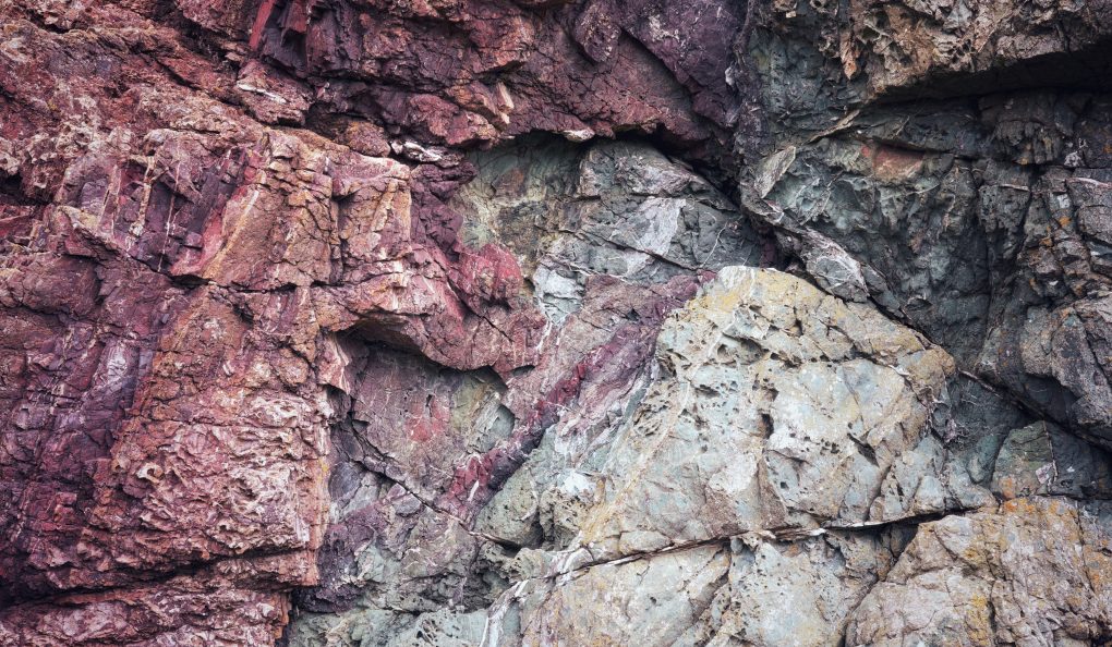
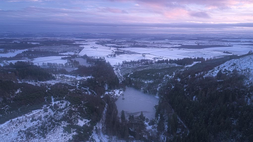
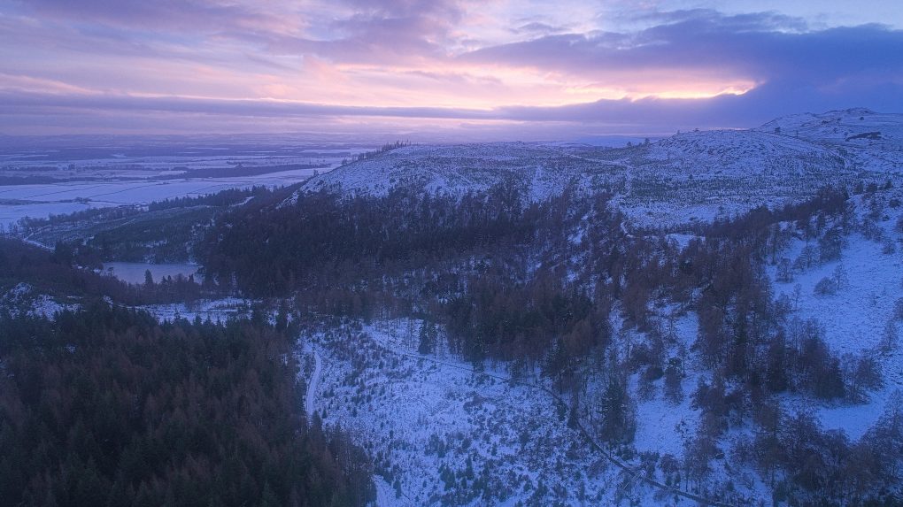
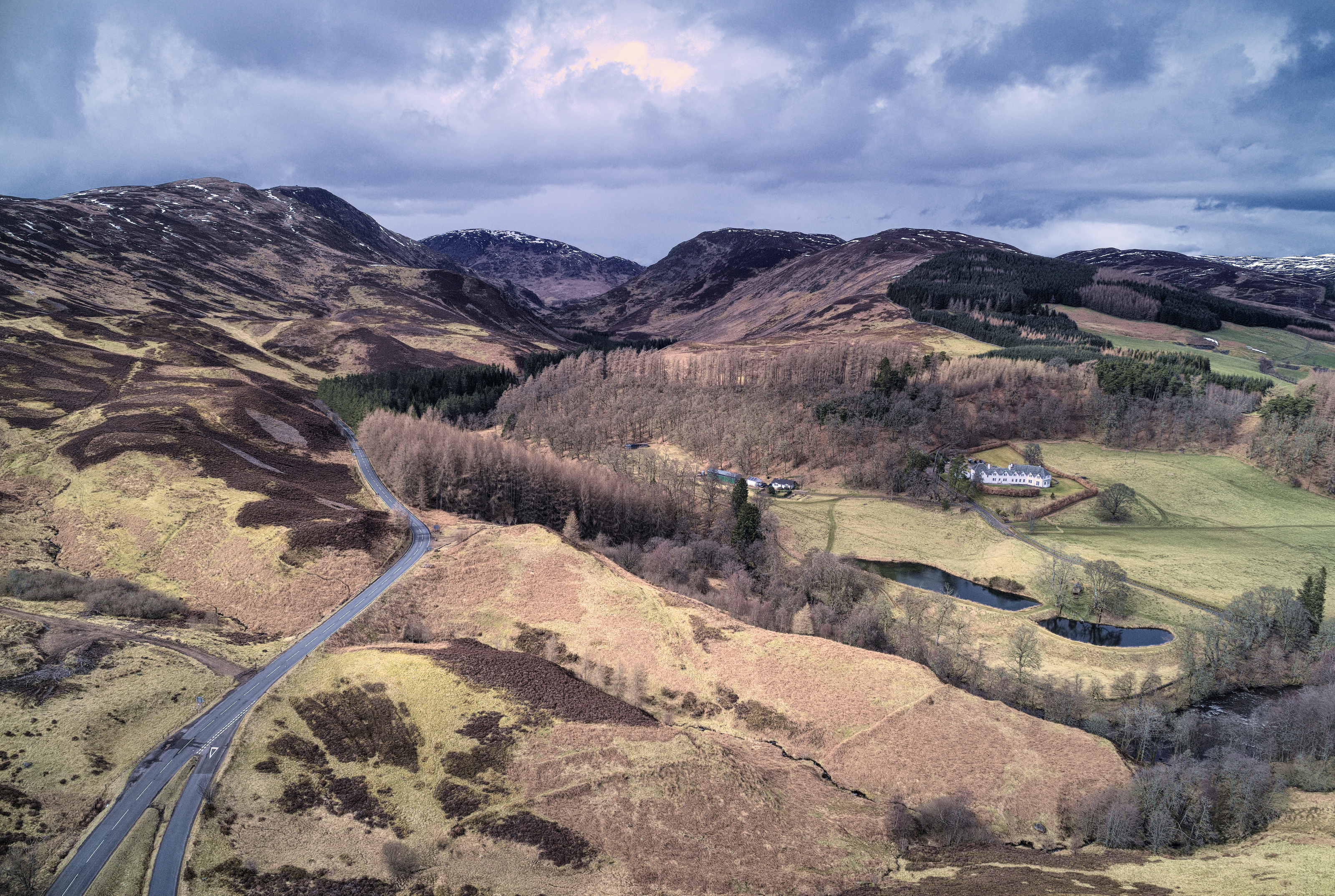
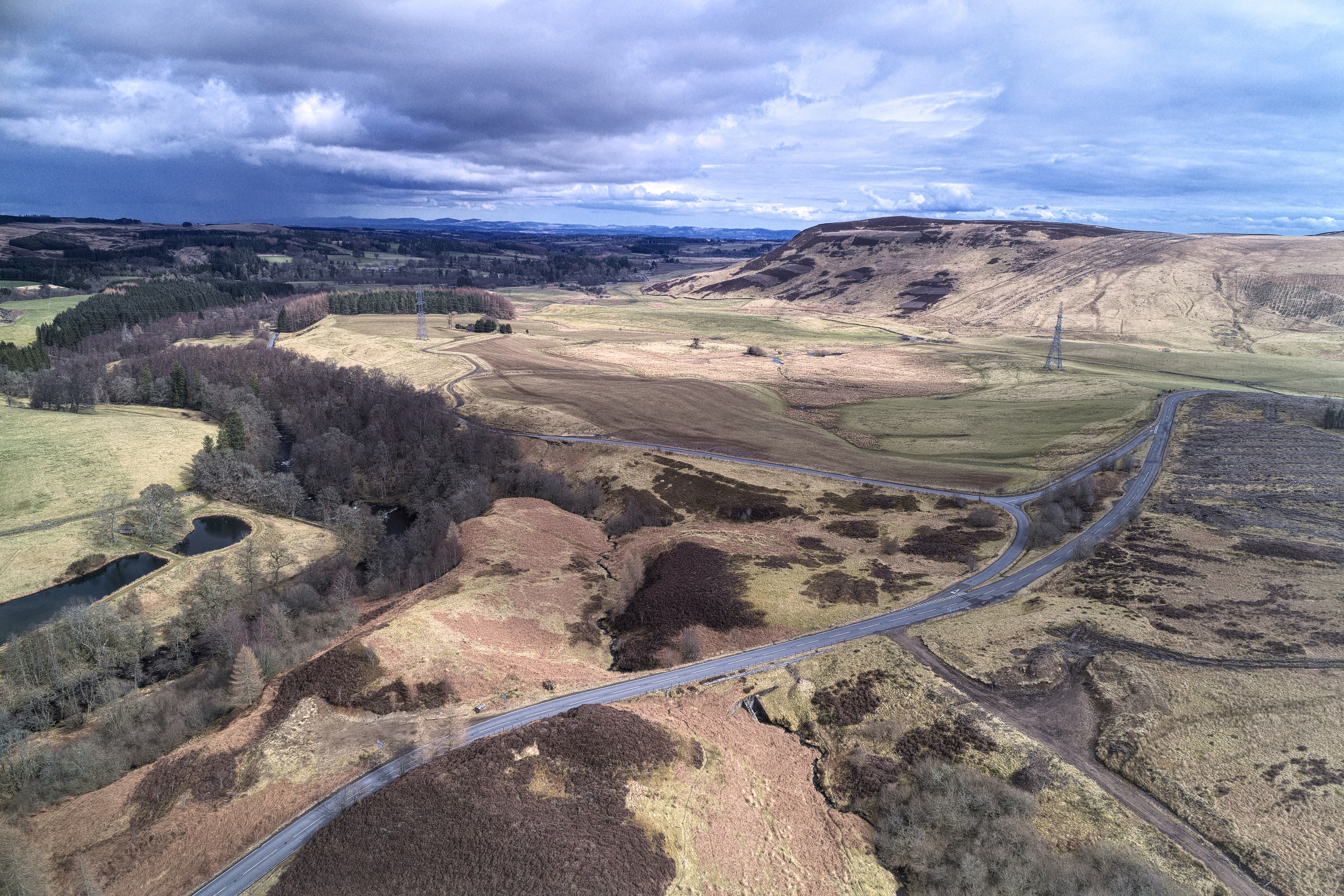
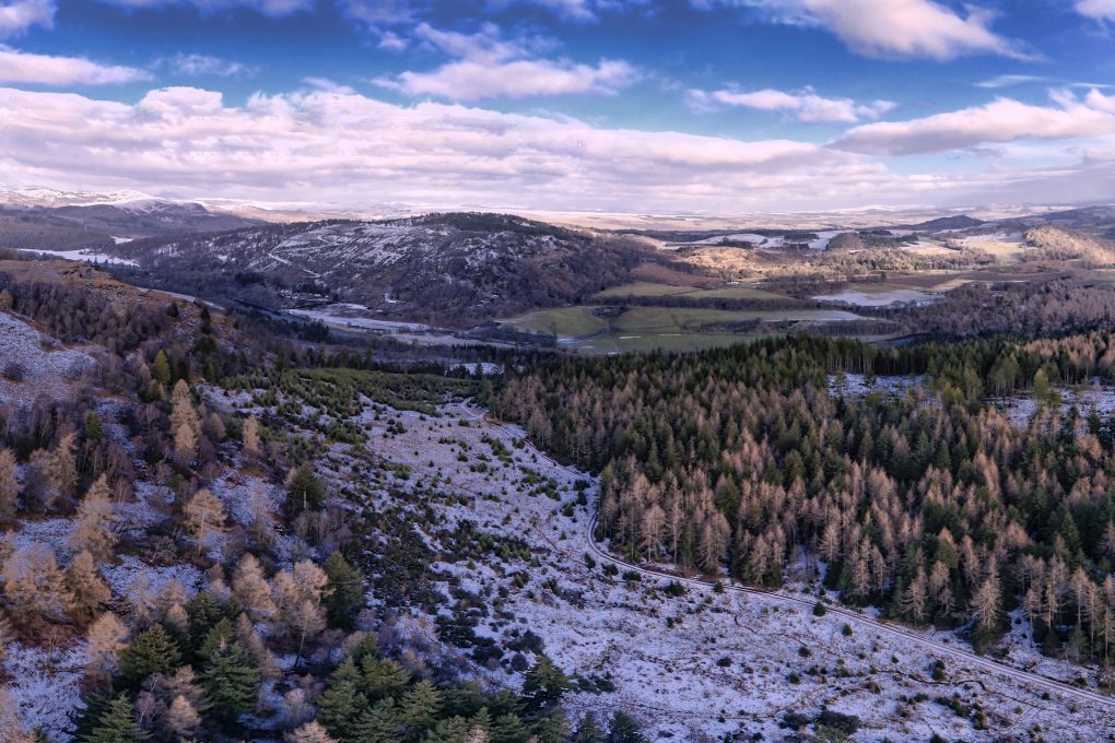
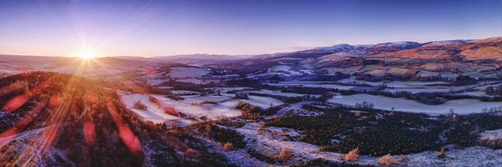
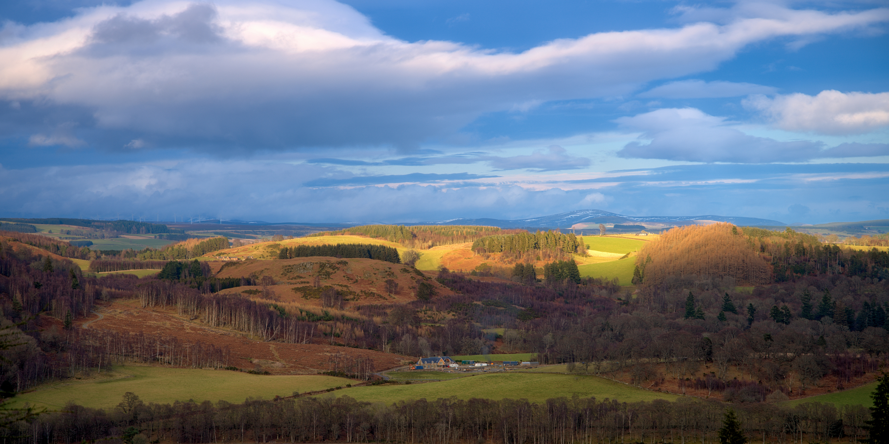
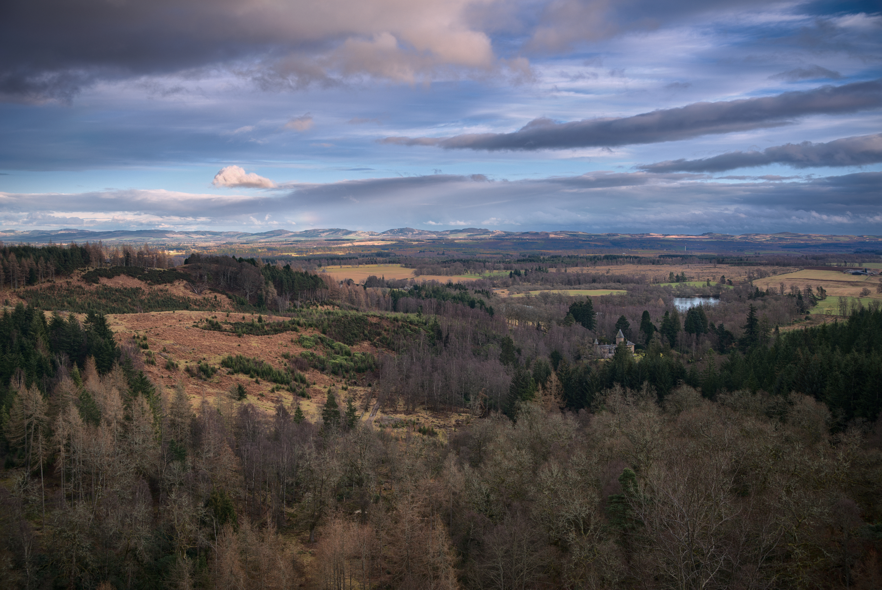
Finally, a drone overview of the whole town – to the north, Dalginross, Comrie, Melville’s Monument and Glen Lednock; to the south, the Highland Boundary Fault runs from Glen Artney in the west right along the field across the road from Cultybraggan through Cowden Loch, Mill of Fortune and Newburgh Wood.
A map of the area, courtesy of the BGS Geoindex: