Some years ago I had a passing interest in the abstract shapes and forms rocks can take.
Recently I was out on the Aberdeenshire coast hunting photos with a friend, who, being impressed with the rocky coastline, wondered exactly where the Highland Boundary Fault emerged at its most north-eastern extremity.
After a bit of research (particularly exploring using the BGS‘s iGeology app), I tracked it to a small headland, Garron Point, beside the golf club outside Stonehaven.
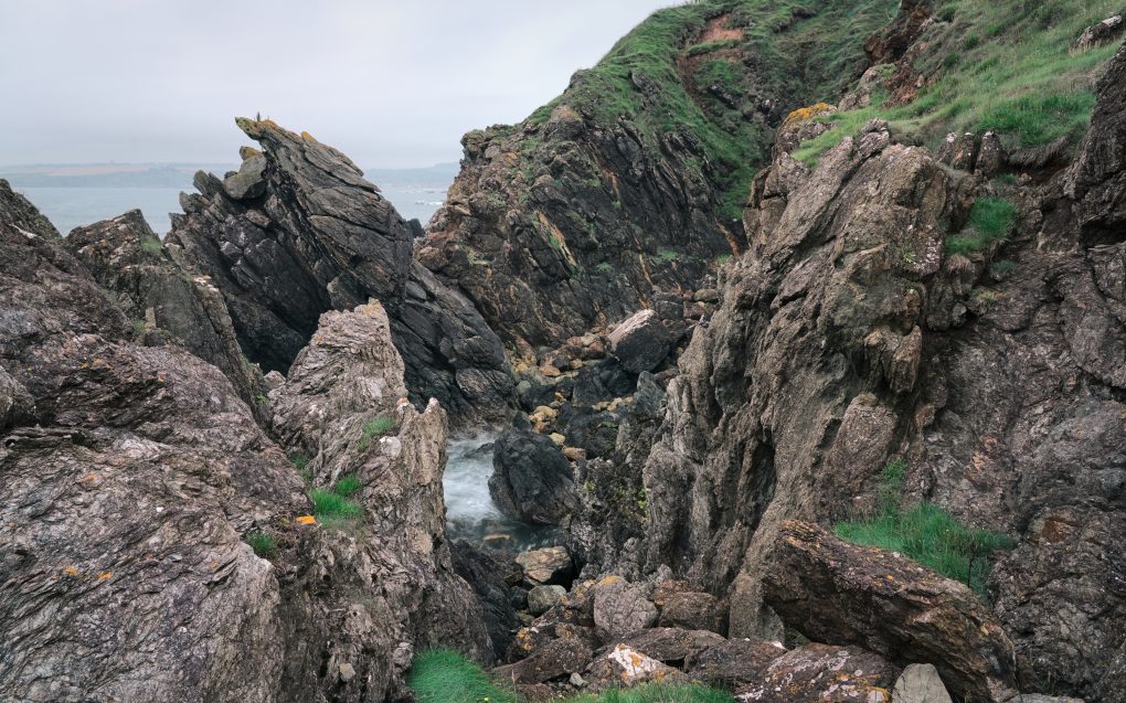
From the outside it doesn’t look like much, but on closer inspection it is awesome.
There are actually two faults – a small one at the north-eastern end of Craigeven Bay corner with Garron Point, forming a small spur off the Highland Boundary Fault which clips the coastline from the town out to sea.
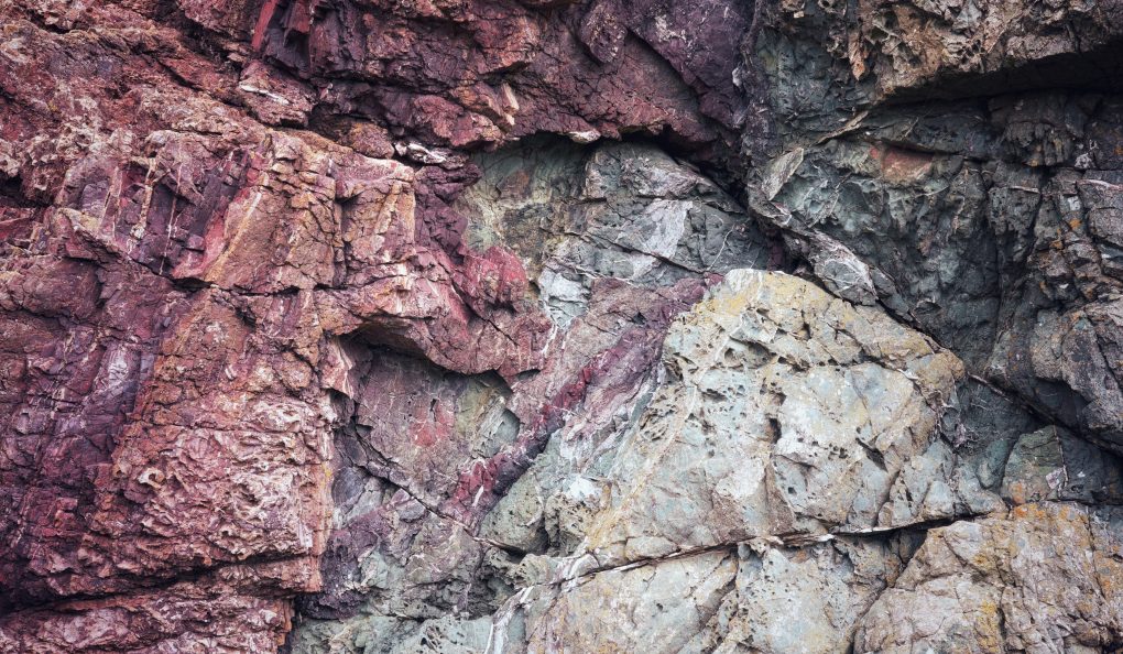
On the lowland side the bedrock is metabasalt, psammite and pelite (North Esk formation) – metamorphic bedrock formed around 461-485MYa in the Ordovician period. On the highland side is gritty psammite (Glen Lethnot grit formation) – around 541-1000MYa.
The fault itself can be tracked to a matter of a few feet – a view from beside one of the golf greens shows the junction of both faults, with a strip of incredibly deformed grey rock leading away some meters rather like a line of chewing-gum.
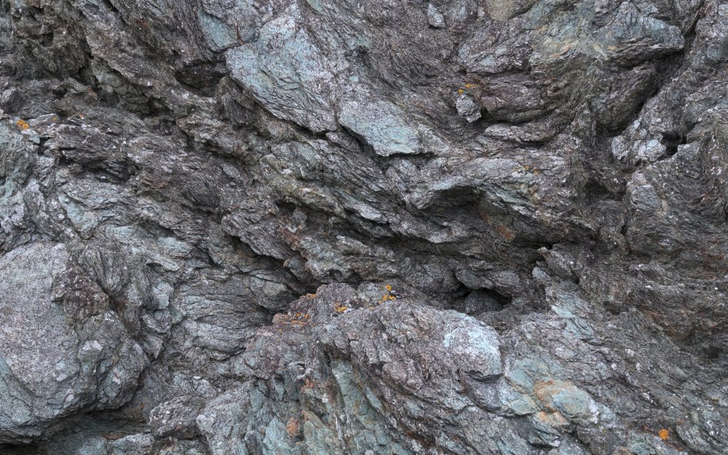
Prior to metamorphosis, this used to be sandstone. Now it forms a medium/coarse-grained rock, pale blue-green in colour, along the line of the Highland Boundary Fault. 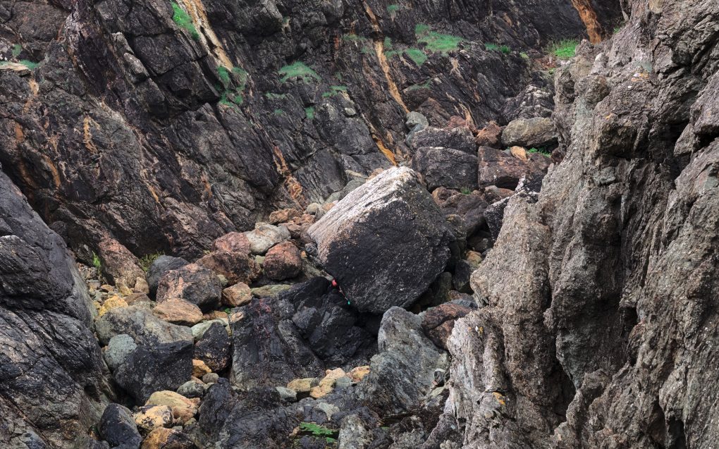
This boulder marks the intersection of two fault lines; a small one, running diagonally from top-right to bottom-left, and the Highland Boundary Fault, running front to back. The zoom lens has compressed perspective, but for a sense of scale, the foreground rock in the right is maybe 15-20′ away.
My favourite image is an abstract closeup – purply-red microbasalt meeting gritty blue-green psammite in a spray of cracks and marbling lines.
Prints are available on my ShinyPhoto photo gallery: Under Pressure