Around Altnaharra

Then came the churches, then came the schools
Then came the lawyers, then came the rules
Then came the trains and the trucks with their loads
And the dirty old track was the telegraph road
Then came the mines, then came the ore
Then there was the hard times, then there was a war
Telegraph sang a song about the world outside
Telegraph road got so deep and so wide
Like a rolling river
– Dire Straits, Telegraph Road

I’ve known of Altnaharra for many years, gradually accumulating little facts about the area. Situated in the middle of the far northern Highlands, it doesn’t get much more remote. Jointly with Braemar, it holds the record for the coldest recorded temperature in the UK – at -27.2ºC I’m glad I wasn’t there at the time.
However, last November on holiday – gravitated north as always – I found myself with a not-completely-planned day where the best weather indicated a visit was indeed possible.
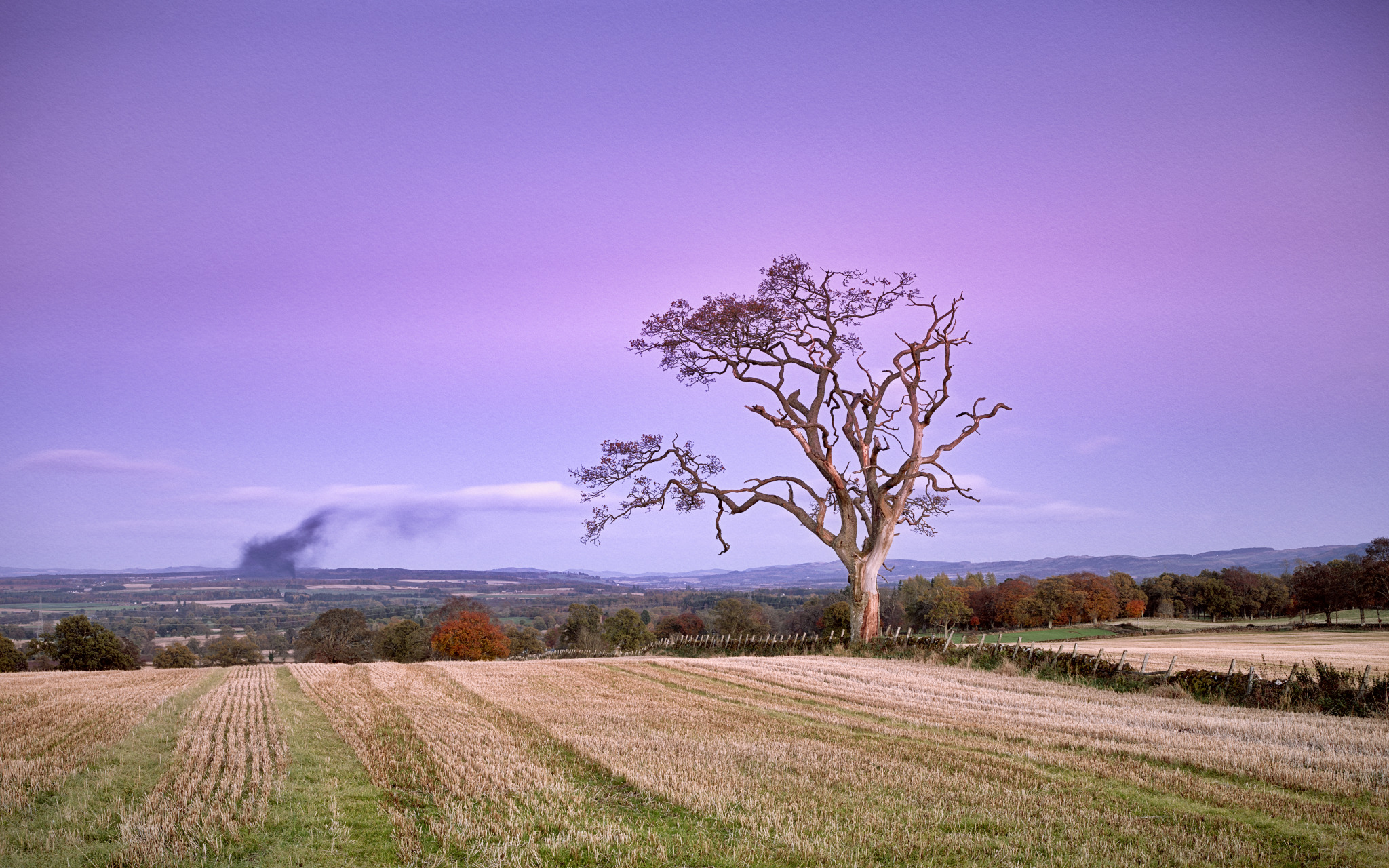
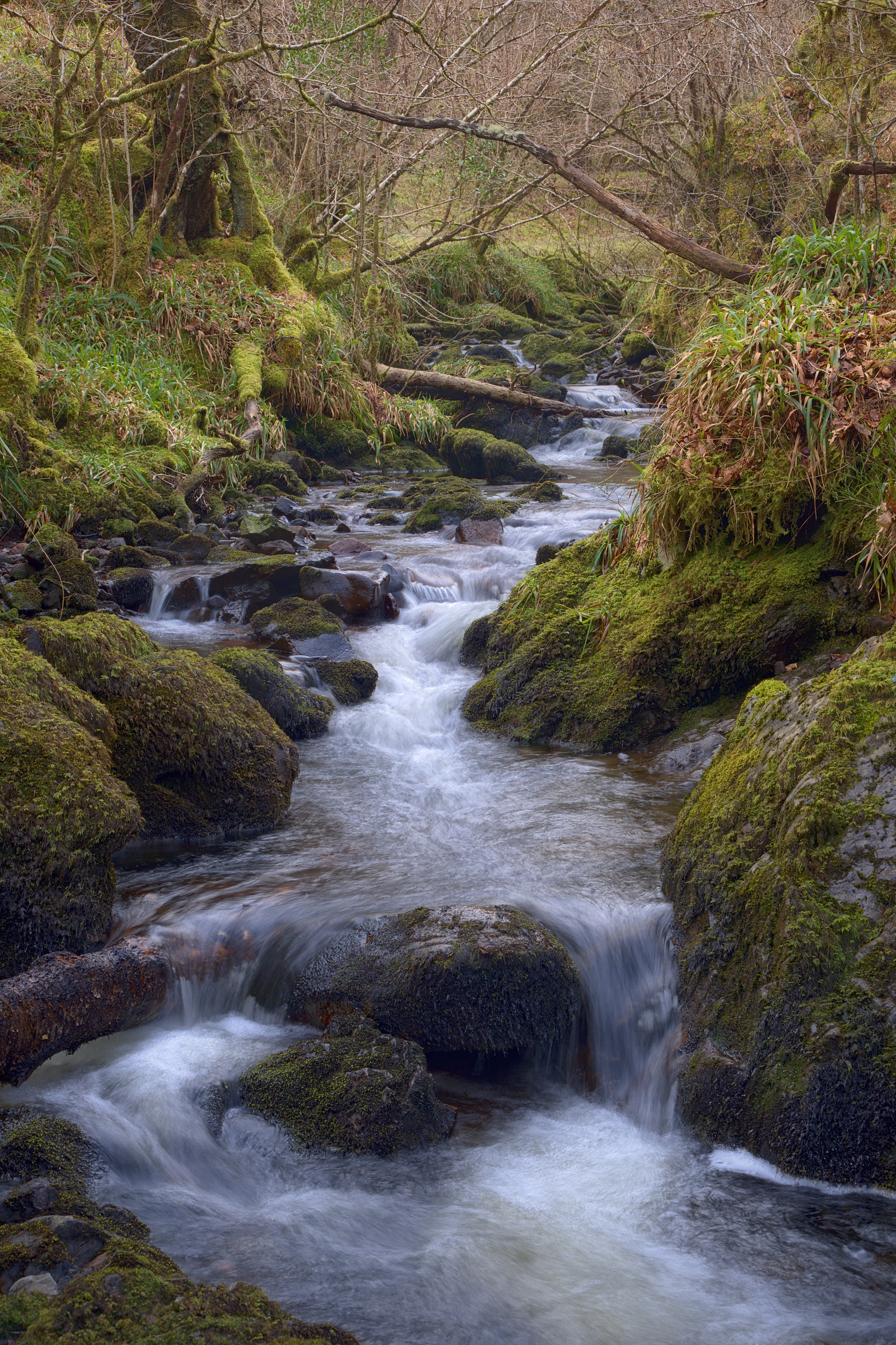
As habitations go, it doesn’t occupy much space in the landscape.The high street (there is none other) is the A836, a single-lane road with passing places. Within about a 200m radius it boasts a handful of houses, an outsized hotel, couple of petrol pumps and a primary school. The village centre is barely a bend in the road with a pleasant Scots Pine tree and the Allt na h’Aire burn from which the place takes its name. I do love the little epiphanies when one makes the connection between the Gaelic names and their anglicised equivalents – in this case I was wondering if the burn in a photo had a name, looked it up, saw the gaelic and the pronunciation dawned on me: “that IS Altnaharra”.


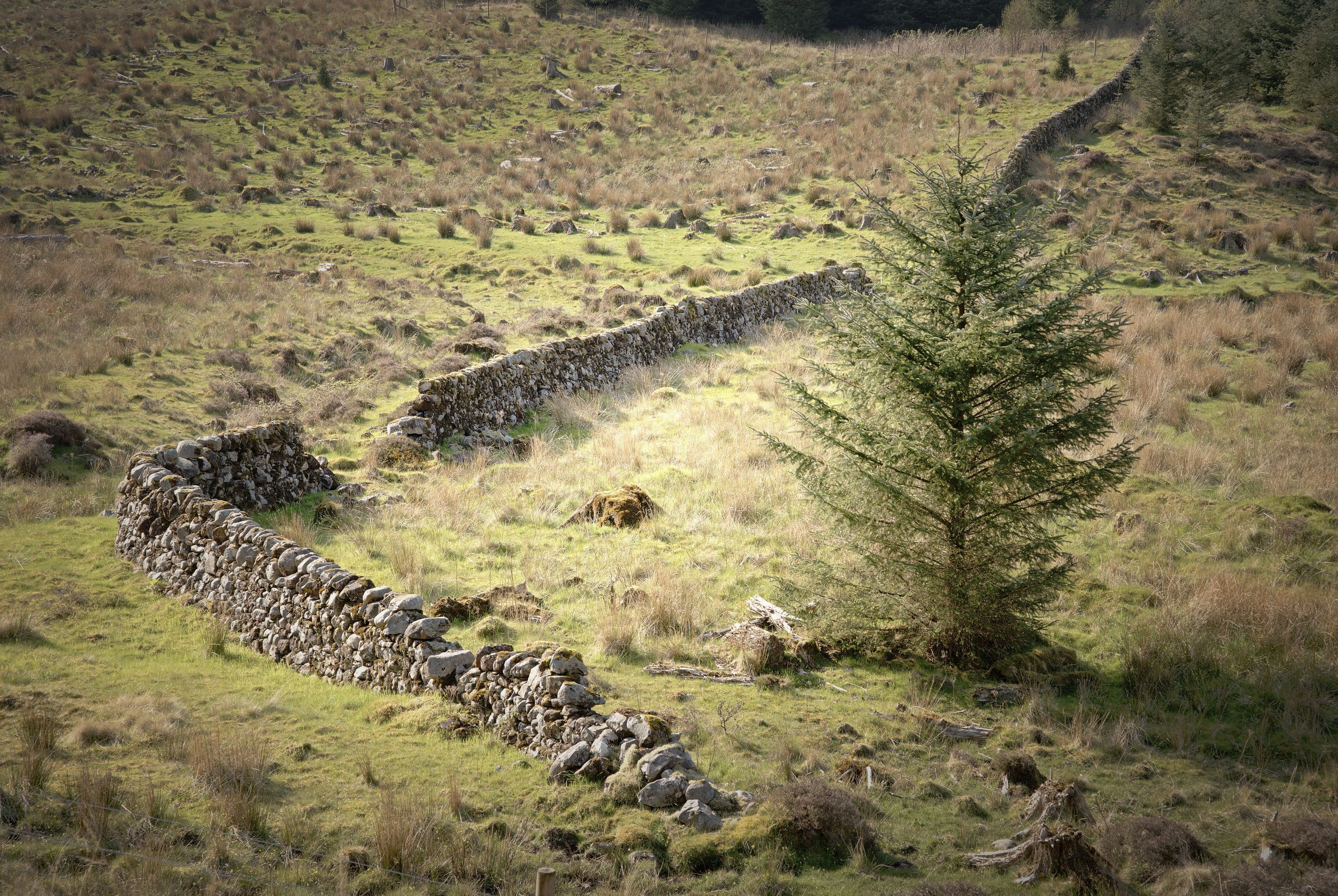
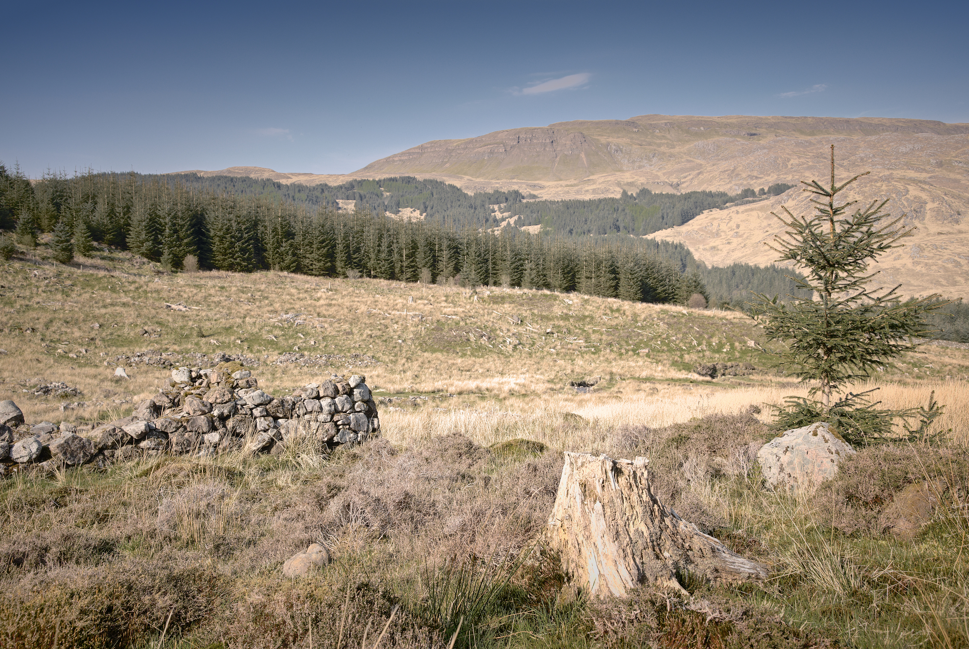
Of course it is also very much Runrig territory; sitting at the end of Strathnaver, it suffered in the Clearances – I wonder what size of catchment area is required to keep that primary school active.

Devoid

An exercise in uniformity: over the course of three days, I took the camera out for an hour’s walk, using the same settings (28mm f/3.5, auto-ISO, centre-zone auto-focussing) and took snaps – free-form composition, quickly grabbed, around the streets and countryside surrounding Auchterarder and in woodland outside Cambusbarron, Stirling. Every image was processed using the same settings in RawTherapee (with slight changes to exposure) and the same black+white sepia-toning.

From each day I chose the best 19 and averaged them with enfuse, slightly tweaked the contrast. Presented together they give an impression of abstract canvas texture with the merest hints of structure. 

Around Auchterarder

I’m not entirely sure why, but I got it into my head to make a series of photos without reason or purpose so I spent a couple of lunchtimes walking around Auchterarder just snapping scenes. Very different to my usual contemplative landscape style – this is reactionary, street photography, with a consistent presentation style (sepia-toned monochrome). All images were shot on a Pentax 15-30mm f/2.8 lens at 30mm nearly wide-open at f/3.5 as well using a daylight whitebalance.

Funnily enough, reducing the variables by insisting on one focal-length and aperture and allowing automatic exposure left me free to think about composition – in such relatively alien territory, wave the lens around and see what looks good.

Around town:

I took the new-found constraints into the surrounding countryside:

Country 2:

All images processed using RawTherapee; uncropped, but exposures normalized and the consistency of toning arising from an orange pre-filtered black and white conversion with sepia toning to finish.

In Glen Nant

One of my favoured locations for a quick hour’s stroll in Argyll is Glen Nant, south of the village of Taynuilt; in particular the Ant Trail which leads you through a small Caledonian forest – not very reserved as many of the trees were felled a couple of centuries ago to fire the furnaces at Bonawe, but it seems folks have repented a bit since then.

Herewith, some more back-to-earth simple landscapes: Ben Cruachan from Glen Nant and a couple of intimate landscape studies.

Above St Monan’s

The zig-zag harbour wall at St Monan’s is one of those iconic photographic locations where it’s impossible to pitch-up with tripod on top of the wall without being joined by multiple other photographers all seeking to perpetrate much the same cliché photo.

A much-shot photo, the zig-zag harbour wall at St Monan’s, Fife

Being stuck in Fife already, I called in at the village and sent the drone up to explore.

One of the first things I noticed is a tiny sign on one of the harbour wall ladders, warning the walk-way is closed. On aerial inspection, it’s possible to see the extent of damage it’s obviously suffered in the winter weather.

Winter weather erosion: the corner of the zig-zag dead-centre in the frame is obviously damaged

I was also very pleased to take a couple of new shots from the aerial perspective, straight down on the zig-zag – it shows how much the land-locked view compresses perspective. The water showed up a beautiful shade of green in the sunlight – and one can make out interference patterns of the waves and their reflections off the harbour wall:

I also nabbed a couple of views of the village, particular the Auld Kirk to the west and the view back across the harbour to the east.

Around Binnend

After serendipitously discovering a lot of heritage information about the abandoned former village of Binnend, on The Binn outside Burntisland in Fife, I spent much of Sunday afternoon exploring the area.

It was smaller than I expected from the maps – about 30x30m or so – and very overgrown. The central region is a mix of thick gorse and fallen boulders, so not really accessible by foot. Use of the drone was hampered by several factors: being immediately adjacent to the Alcan landfill waste processing site, still an active commercial operation; by being a few hundred yards away from Craigkelly transmitter which caused significant radio interference (warnings in the DJI Go app and actual loss of video signal above a few meters’ altitude), so I did not get the fly-over video I’d intended.

Still. Herewith, a few still photos instead:

Approaching Binnend:

Within Binnend itself:

Above Binnend:

My Strathearn

I’m very fond of the views along the length of Strathearn – from the Knock at Crieff or above Monzie joinery on the A822 road looking west, the view to overlapping hills in the distance is deeply pleasant.

This is an unashamed dump of a load of photos made over the course of two strolls up and down Torlum Hill outside Crieff – the first mid-afternoon with a variable-ND / polariser filter, the second immediately afterwards with a regular 2-stop circular polariser instead. The same technique has been applied to all  – auto whitebalance and handheld HDR with a 1EV bracket either way. All are presented here in chronological order to compare the difference the light and a proper filter make in the landscape.

On the way back home after strolling up and down the hill, I saw a colourful Earth’s Shadow (aka Belt of Venus) developing, just as I happened to be passing one of my favoured characterful trees outside Muthill.

Birnham Hill

One of my favourite views is the Highland Boundary Fault running through the landscape, immediately in front of me standing at Stair Bridge Viewpoint part-way up Birnam Hill.

It looks particularly pleasant with light and cloud-shadows zipping over the trees too:

Morvern 3/4: In Search of Purity

Time to explain the motivation for this excursion to the Morvern peninsula.

A few months ago, I was exploring what Google Earth had to show for the West coast of Scotland. A lot of photographers gravitate toward the north-west, around Sutherland, and rightly so – the geography up there is impressive. However, coming a little south past Ardnamurchan, there is also epic geology – evidence of volcanoes, beautiful mountains, the works. And so I stumbled across this glen past Loch Arienas and Loch Doire nam Mart, thinking there might be a view to enjoy part-way along the glen up one of the mountains to the left, perhaps.

On a little research, I saw the OS map of the area showed Aoineadh Mor, a former township dissolved in the Highland Clearances. Interesting history. So I drove – about 4.5 hours from Perthshire out through Fort William around Loch Eil and down at some length on wiggly single-lane 60-limit roads – and arrived at the small roadside carpark about 4.30pm.

The walk through the woods was beautiful: birches and oak trees catching the low sunlight.

Now it gets real. On emerging from the woods, the first evidence of habitation one sees is this broken dry-stone wall:

The Perimeter is Breached

which shouts the beginning of the story loud and clear: a township left to ruin, increasingly taken over by nature.

From what I gather, up to the 18th Century, Aoineadh Mor [approximately pronounced, and sometimes spelled, Inniemore, although the Gaelic ao vowel sound is inimitable in English] was a thriving crofting community on the slopes of Sithean na Raplaich where the burn (Allt Aoineadh Mor) flows down to the lochs.

It is a wonderfully beautiful setting – the Allt Aoineadh Mor burn burbling down the hillside, through the former township of the same name.

In 1824, Christina Stewart, newly owner of the Glenmorvern estate, forcibly ejected the crofters in order to farm sheep on the land for supposed greater profit, as happened in many places during the Highland Clearances.

The names of two of the last crofters to leave, James and Mary, have been given to two paths through the surrounding forestry.

By 1930 the sheep were also no longer profitable and the area was planted with trees as the cash-crop of the time. After 60 years, in 1994, the Forestry Commission uncovered the township.

And so my history intersects with the place in 2017.
It is both quieting and disquieting simultaneously: quiet in that there is an open space, there are trees, light, water, all the elements of landscape we photographers like; yet disquieting in that the area is not really pure – on scratching beneath the surface, there seems to be a greater innocence in the subsistence existence of crofting, with subsequent industries of sheep farming and forestry tainted by crass desire for profit to varying extent. And so the hillside is not really wild but barren; the land not just beautiful but exploited.

Dust kicked-up by a passing logging lorry travelling a path through Forestry Commission conifer woods, taken from the former township of Aoineadh Mor.
http://scotland.forestry.gov.uk/activities/heritage/historic-townships/aoineadh-mor-inniemore/marys-story

These conflicting forces of land, money and habitation are summarized in this photo, where we have nature’s pine tree felled in the foreground, a generation of mankind’s ruined croft superseded by the unnatural choice of conifers blown in as seed on the wind, leading to blue skies beyond.

This used to be the township of Aoineadh Mor, a scattering of stone crofts on the braes beside a beautiful river surrounded by forest. 
Now the Forestry Commission has taken over, with several monoculture forests on the surrounding mountains, even wild-seeding into the former township.

For what it’s worth, a few more photos all taken around the township:

References:

As I walk along these shores
I am the history within
As I climb the mountainside
Breaking Eden again –
Runrig, Proterra

Lady Mary’s Walk, Crieff

Only catching up on photos taken at the end of April…

Lady Mary’s Walk runs West from Crieff along the side of the River Earn, mostly on the flat until one reaches the foot of Laggan Hill after a mile or so, where it forms a circular route back to MacRosty Park.

At the end of April I went for a stroll to hunt bluebells.

The path was particularly pleasant – quiet, leading on through the woods.


As an aside, I’m sure there never used to be such a profusion of wild garlic on these Perthshire woodland nature trails 10 years ago – I only first encountered the stuff whilst out in Galloway.

I was a bit early for optimum bluebell season, but did find a few areas of good blue ground coverage:

And at the western extremity of the route there is a ruined house – it could be quite eerie given the right lighting.

Along the Oak Walk

One of my favourite walks around the local area is the Oak Walk – running along the edge of a large field, it gets beautiful evening sunlight and has some characterful trees

One or two local folk have populated it with wooden sculptures, for amusement factor

And the surrounding paths are well populated with wild raspberries, brambles and even willowherb/fireherb looking pretty in the light.

Argyll Woodlands

One of my favoured walks around Argyll is a couple of miles south of Taynuilt, the White Ant trail around Glen Nant.

Ben Cruachan dominates the surrounding landscape – especially on a cool winter’s day:

Last summer I was pleased to fulfil a client’s requests for several of my photographs; one of the black & white prints was originally made in Glen Nant, a little burn flowing gently amongst the green undergrowth. On revisiting it, I’d forgotten how the original had been made whilst lurking, troll-like, under a small wooden bridge:

A repeat of a photo made some years ago – I’d forgotten that I was actually hiding, troll-,like under a small bridge to make the original!

No trip to Argyll would be complete without visiting old friends in Inverawe. In particular, Old Friend, my favourite willow tree, is still standing as characterful and gnarly as ever.

And all is well with the world

Noctilucent Clouds (NLCs) 2017-06-15

It’s just a week off being the longest day, and it seems never to really get dark at night around here at the moment. Still. While that precludes shooting the aurora, instead it’s noctilucent cloud (NLC) season – just started in the past couple of days so I was very pleased to capture these last night / this morning around 1am.

Apart from being a canary for global warming, NLCs are a beautiful phenomenon, glowing cold bluey-white typically filament threads lighting up the sky. Or, if you leave the camera thinking for 2 minutes they blur nicely with the more mundane clouds:

Noctilucent Clouds, around 1am – Crieff across Strathearn from Auchterarder
A total 2 minutes of exposure to see what the NLCs and ordinary clouds would get up to over that kind of timescale.

And I made a short timelapse – 6 minutes compressed into an 11-second video: